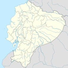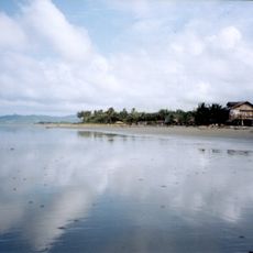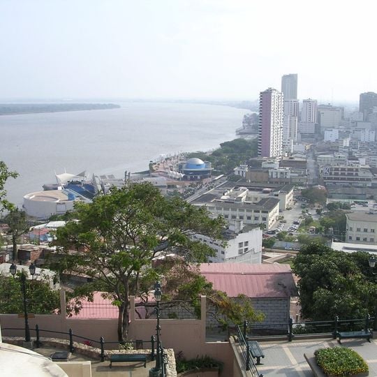
Coastal Region of Ecuador, Geographic region on Pacific coast, Ecuador.
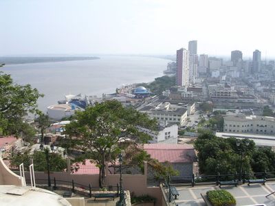
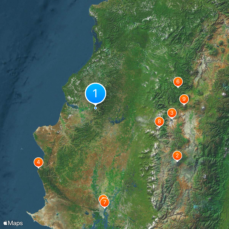
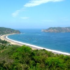
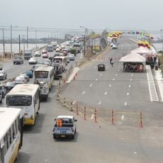
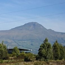
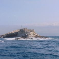
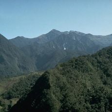
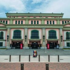
This territory runs along the Pacific Ocean with broad lowland plains that gradually rise toward the Andes, forming a natural transition between the western coast and the highlands. Several major ports line this shore, serving as key points for maritime trade and agricultural exports.
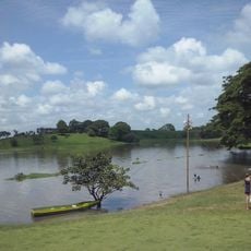
Native forests in this territory underwent major transformation during the 20th century as agricultural land expanded for banana and cacao cultivation. This shift shaped the modern landscape and turned the coast into one of the country's main farming areas.
Fishing villages along the shore still rely on nets and small boats, with catches sold directly at outdoor markets where locals buy fish for daily meals. Families often gather on beaches during weekends, enjoying grilled seafood prepared in simple open-air restaurants by the water.
This area covers a long Pacific coastline with major port cities that serve as gateways to different beach towns and lowland zones. The climate stays warm and humid year-round, so light clothing and sun protection are recommended for any visit.
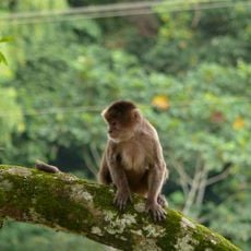
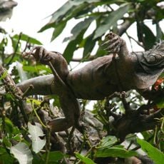
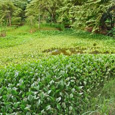
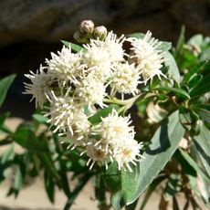
Thermal patterns here create specific microclimates where certain plant species grow only in small, localized zones. These climatic variations arise from the proximity to the ocean and the rising coastal plains, allowing a range of ecosystems to exist within short distances.
The community of curious travelers
AroundUs brings together thousands of curated places, local tips, and hidden gems, enriched daily by 92,479 contributors worldwide.