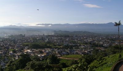
Santo Domingo, Commercial center in western foothills of Andes, Ecuador.
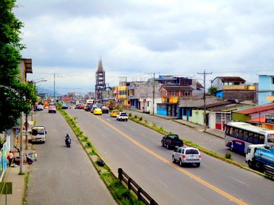
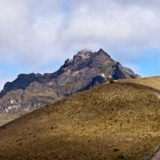
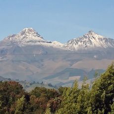
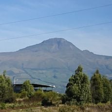
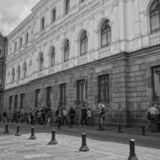
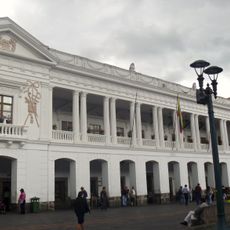
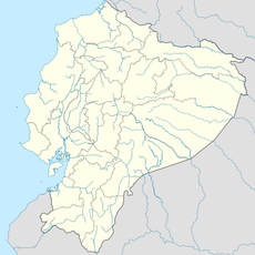
Santo Domingo is a city in Santo Domingo Canton in Ecuador, located at 550 meters (1800 feet) in the western foothills of the Andes. The road network links the Sierra with the coastal regions and turns the city into a hub for goods traffic and exchange between the different climate zones of the country.
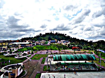
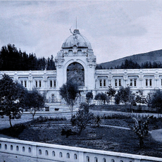
The official founding took place in 1899, when the first settlers began to open up the area and practice agriculture. Over the decades the population grew rapidly, and the city developed into a major economic center in the country.
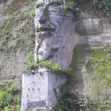
The Tsáchila continue to live in the surrounding area and maintain their customs, including dyeing their hair with red achiote extract. This tradition shapes the appearance of the region and shows up in local markets, where visitors can discover handcrafted objects and traditional clothing from the community.
Travelers often use the city as a stopover on the route between the capital and the coastal cities. The climate is humid and warm, so light, quick-drying clothing is recommended for the stay.
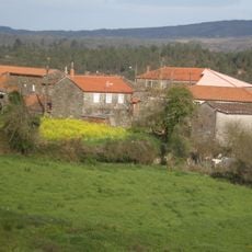
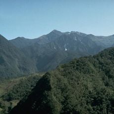
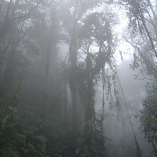
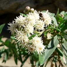
The city is considered one of the wettest inhabited places in the country, which is reflected in the dense forests and lush greenery of the surroundings. Those who visit the side markets often find tropical fruits and plants that are less common elsewhere in Ecuador.
The community of curious travelers
AroundUs brings together thousands of curated places, local tips, and hidden gems, enriched daily by 60,000 contributors worldwide.