Chest opened
+${chestReward.xp} XP
Explorer
NOUVEAU ×${chestReward.collectible.quantity}
tapez pour fermer
Chest locked

Open chests in the app

Around Us is built for your phone — chests unlock when you walk, explore and capture nearby places.

Enable Location

We need your location to show you interesting places around you

Discover nearby places

Find interesting locations and hidden gems around you

Precise directions

Get accurate directions and distances to places

Your location is never shared with other users. It's only used when you tap the location button.

Colombia–Ecuador border

Log in to your account

Start exploring — it's free

Trusted by 72,959 travelers worldwide

Continue with Google
Continue with Apple
or

We will send you a code to connect

By continuing, you accept our Terms and Conditions and our Privacy Policy

Check your inbox

We've sent a pincode in your inbox. Please enter the code below.

Discussion Reviews 2 Photos
74.9k Popularity

Colombia–Ecuador border, International border between Nariño and Carchi provinces, South America

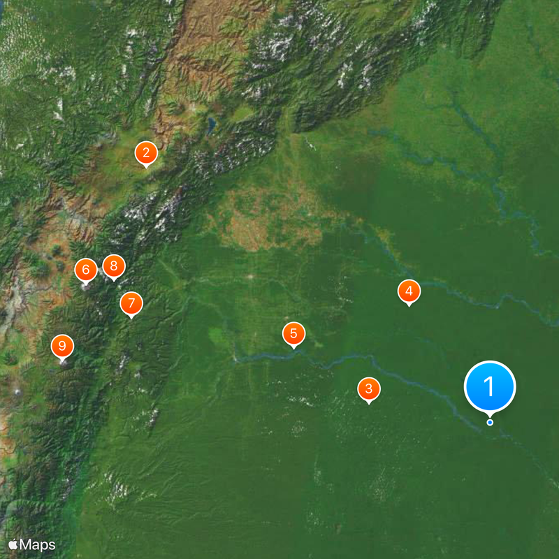
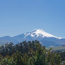
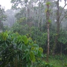
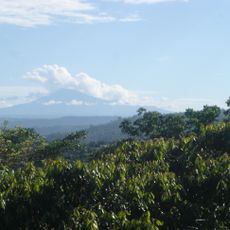
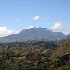
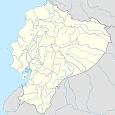
This international boundary runs 586 kilometers between Colombia and Ecuador, from the Güepí River in the Amazon region to the Mataje River on the Pacific coast. It separates the Colombian department of Nariño from the Ecuadorian province of Carchi, crossing rainforest, highlands and coastal areas with different climates and landscapes.

The Muñoz-Suárez Vernaza Treaty defined the final boundary line between the two countries in 1916, following the collapse of Gran Colombia. The Liévano-Lucio Treaty of 1975 extended the agreement into maritime waters up to 200 nautical miles into the Pacific.

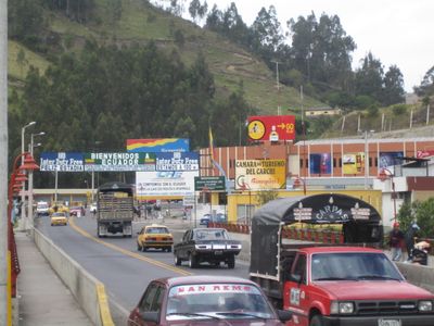
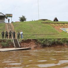
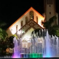
The Rumichaca International Bridge connects the cities of Ipiales and Tulcán, serving as the primary crossing point for commerce and travelers.

Three official crossing points connect both countries: the Rumichaca Bridge near Ipiales for main traffic, San Miguel in the rainforest and San Lorenzo on the coast. Travelers should keep identity documents ready and check locally for waiting times, as traffic volume varies throughout the day.

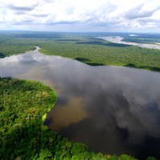
The eastern section of the boundary runs through nearly uninhabited Amazon rainforest, where only a few locals and researchers cross the remote frontier area. By contrast, thousands of people pass through the Rumichaca Bridge in the highlands daily, making it one of the busiest crossings on the continent.

The community of curious travelers

AroundUs brings together thousands of curated places, local tips, and hidden gems, enriched daily by 60,000 contributors worldwide.

Start exploring
Part of
borders of Colombia, teorainneacha Eacuadór
GPS coordinates
-0.90280,-75.29167
Latest update
December 13, 2025 17:13
Reviews
Share your experience

No review yet

Discussions
Start a discussion...

No discussion yet

« Colombia–Ecuador border - International border between Nariño and Carchi provinces, South America » is provided by Around Us (aroundus.com). Images and texts are derived from Wikimedia project under a Creative Commons license. You are allowed to copy, distribute, and modify copies of this page, under the conditions set by the license, as long as this note is clearly visible.

Discover hidden gems everywhere you go!

From secret cafés to breathtaking viewpoints, skip the crowded tourist spots and find places that match your style. Our app makes it easy with voice search, smart filtering, route optimization, and insider tips from travelers worldwide. Download now for the complete mobile experience.

Around Us App Screenshot

A unique approach to discovering new places

Le Figaro

All the places worth exploring

France Info

A tailor-made excursion in just a few clicks

20 Minutes

Around Us
Travel Guide & Maps
Download

Send to your phone

QR Code
1

Open the camera app on your mobile.

2

Point at the QR code with your camera. A notification will appear.

3

Tap the notification to open the link.