
Campoverde, district in Ucayali, Peru
Location: Coronel Portillo Province
Capital city: Campoverde
Elevation above the sea: 193 m
Shares border with: Nueva Requena, Yarinacocha, Callería, Manantay, Honoria District, Tournavista District, Alexander von Humboldt District, Neshuya District, Curimaná District
GPS coordinates: -8.47000,-74.81000
Latest update: April 13, 2025 02:34
Kotosh
229.2 km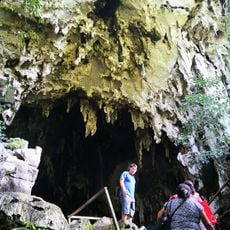
Cave of the owls
164.3 km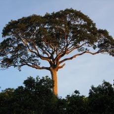
Panguana
106.9 km
Serra do Divisor National Park
149 km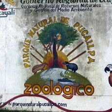
Parque Natural de Pucallpa
28.9 km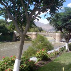
Puente Calicanto
226.1 km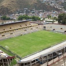
Estadio Heraclio Tapia
227.9 km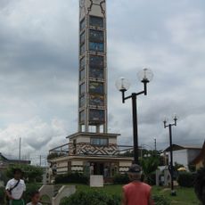
Fundación y colonización de Pucallpa
33.7 km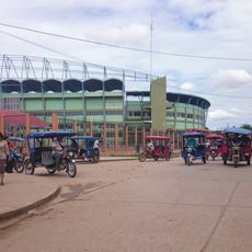
Estadio Aliardo Soria Pérez
31.2 km
Yanesha Communal Reserve
209.6 km
San Matías–San Carlos Protection Forest
233.4 km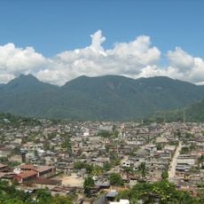
Pumarinri
162.5 km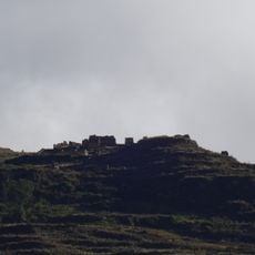
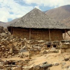
Piruro
231.6 km
Oxapampa-Ashaninka-Yanesha
238.4 km
Cruzpampa
229 km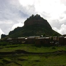
Laksha Warina
244.8 km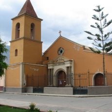
Iglesia de San Cristóbal, Huánuco
225.9 km
Jardín botánico de Tingo María
160.9 km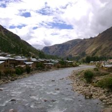
Urqumayu
247.9 km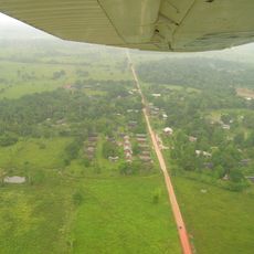
Cashibo
18.1 km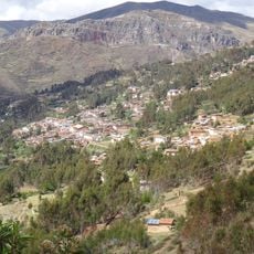
Ahuila Gencha Machay
244.7 km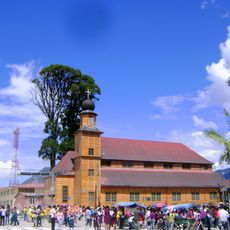
Iglesia Matriz Santa Rosa de Oxapampa
243.2 km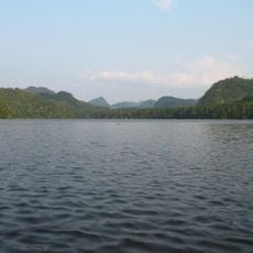
Pisqui River
97.9 km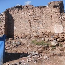
Shillacoto
227.3 km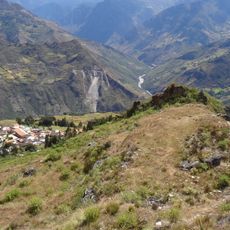
Rapayán
229.2 km
Susupillu
230.4 km
Archaeological Center of Ichu Yanuna
204.8 km
Winak
239.1 kmReviews
Visited this place? Tap the stars to rate it and share your experience / photos with the community! Try now! You can cancel it anytime.
Discover hidden gems everywhere you go!
From secret cafés to breathtaking viewpoints, skip the crowded tourist spots and find places that match your style. Our app makes it easy with voice search, smart filtering, route optimization, and insider tips from travelers worldwide. Download now for the complete mobile experience.

A unique approach to discovering new places❞
— Le Figaro
All the places worth exploring❞
— France Info
A tailor-made excursion in just a few clicks❞
— 20 Minutes