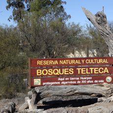
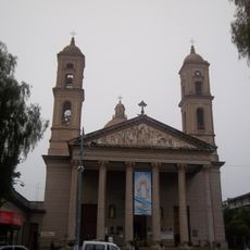
La Punta, human settlement in Argentina
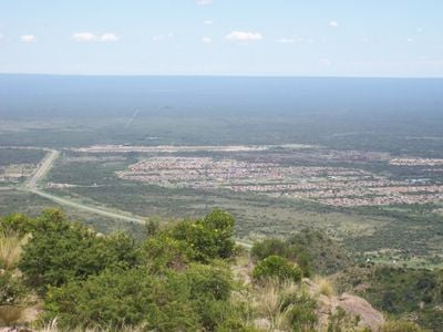
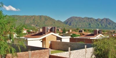
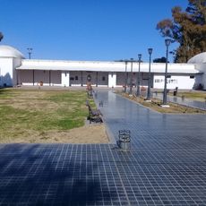
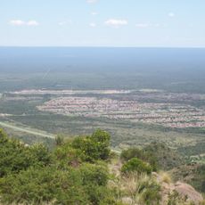
La Punta is a municipality in Mendoza Province, situated on a high plain in the Andes region. The town consists of a compact residential area with simple dwellings and basic services that support everyday community life.
The municipality developed during Spanish colonial settlement of the region and evolved as a small agricultural center in the high-altitude area. Like many places in Mendoza, it was shaped by economic dependence on viticulture and local farming.
The town is easy to explore on foot since main facilities are close to each other. Basic lodging and small shops can be found in the center, but for major supplies or specialized services it is better to visit the nearest larger city.
The community of curious travelers
AroundUs brings together thousands of curated places, local tips, and hidden gems, enriched daily by 60,000 contributors worldwide.