Geography of Córdoba Province, Argentina, Geographic region in central Argentina
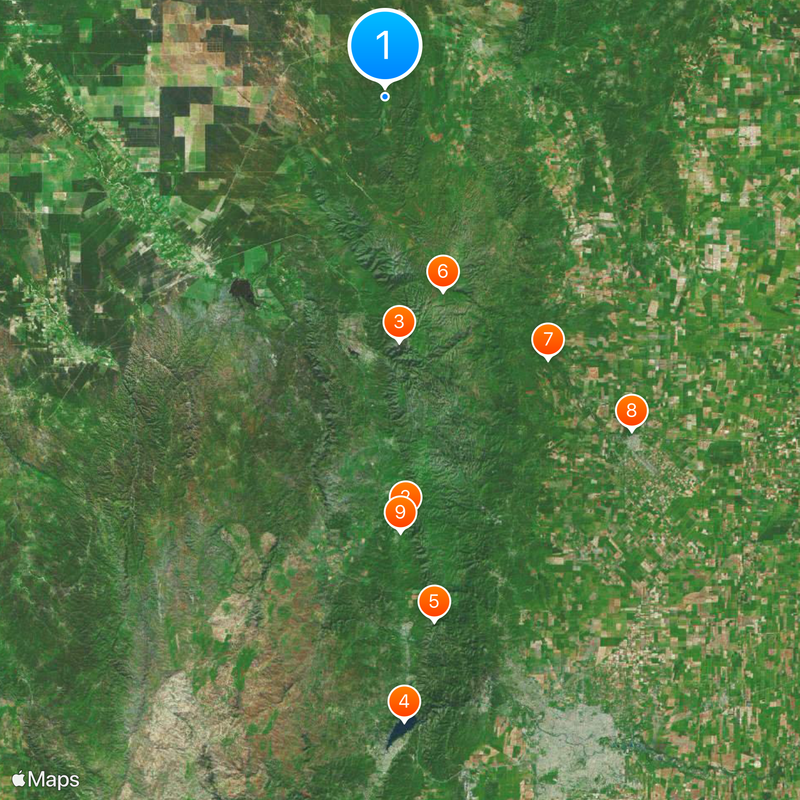
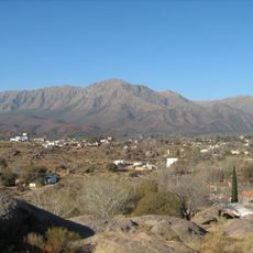
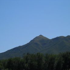
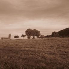
Córdoba Province covers central Argentina with varied landscapes ranging from mountains to plains. The terrain transitions from rugged peaks in the west through rolling hills to flat grasslands in the east, with multiple rivers cutting through the landscape.
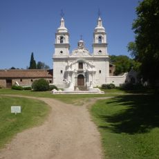
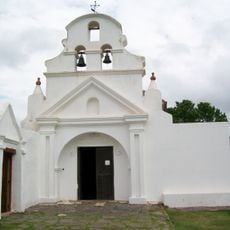
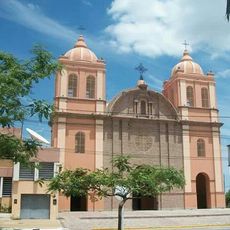
Spanish settlers founded the city of Córdoba in 1573 as a key stopping point for metal trade routes connecting Peru to Europe. This location made the region central to colonial commerce and development.
The first university in Argentina was founded here in 1613, and its presence still shapes how people view education and learning in the region today. You can feel this legacy reflected in the local pride for knowledge and scholarship.
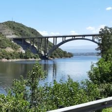
The region has several rivers flowing through it that serve as natural boundaries and navigation points. Understanding the river system helps visitors orient themselves and find their way through different areas.
The Mar Chiquita is Argentina's largest salt lake and sits in the northeast where several rivers meet and end. This unusual body of water attracts people interested in seeing wildlife and bird species that adapt to salty conditions.
The community of curious travelers
AroundUs brings together thousands of curated places, local tips, and hidden gems, enriched daily by 60,000 contributors worldwide.