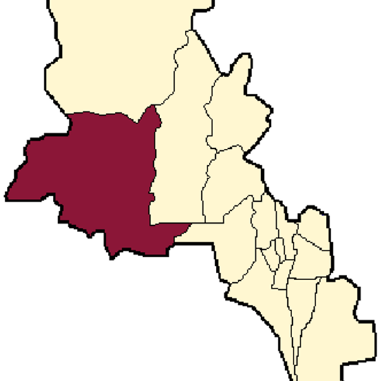
Tinogasta Department, department of Argentina
The community of curious travelers
AroundUs brings together thousands of curated places, local tips, and hidden gems, enriched daily by 60,000 contributors worldwide.
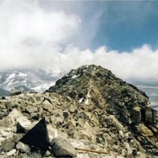
Ojos del Salado
143.5 km
Monte Pissis
126.1 km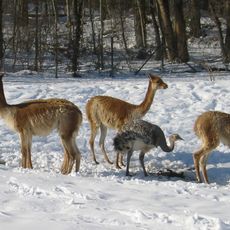
Reserva provincial Laguna Brava
153.3 km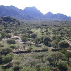
Shincal
57.2 km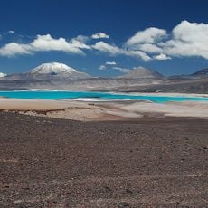
Incahuasi
135.7 km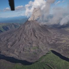
Onega River
146.5 km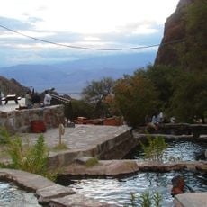
Termas de Fiambalá
36.1 km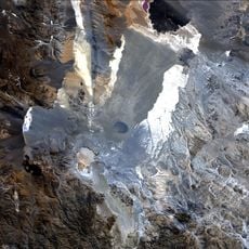
Robledo
145.1 km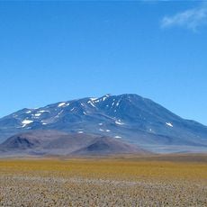
Cerro Bonete
151.8 km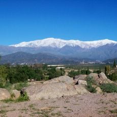
Cerro General M. Belgrano
108.6 km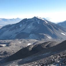
Cerro El Muerto
144.2 km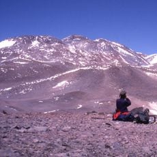
Tipas
137.3 km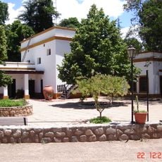
Samay Huasi
123.6 km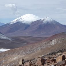
Cerro de Tres Quebradas
135.8 km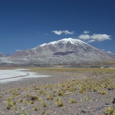
Nevado San Francisco
145.1 km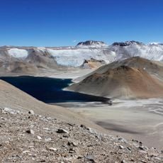
Incapillo
124.8 km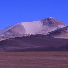
Cerro Solo
155.8 km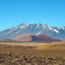
Walter Penck
137.9 km
Glaciar de los Argentinos
126.1 km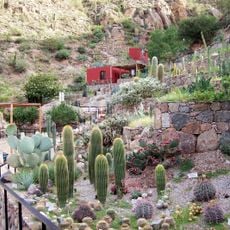
Chirau Mita Botanical Garden
122 km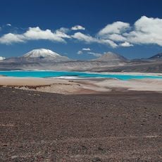
Volcán Fraile
138.8 km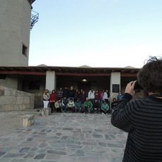
Museo Rural Comunitario Barranca Larga
145.3 km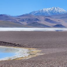
Excursión a Laguna Brava
102.2 km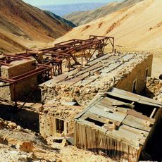
Chilecito-La Mejicana ropeway station no. 9 "La Mejicana"
107.2 km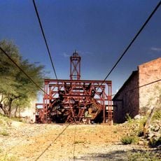
Chilecito-La Mejicana ropeway station no. 2 "El Durazno"
118.7 km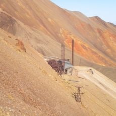
Chilecito-La Mejicana ropeway station no. 8 "Los Bayos"
107.1 km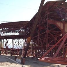
Chilecito-La Mejicana ropeway station no. 1 "Chilecito"
124.2 km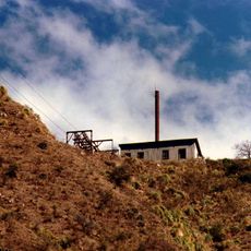
Chilecito-La Mejicana ropeway station no. 3 "Parrón"
114 kmDiscover hidden gems everywhere you go!
From secret cafés to breathtaking viewpoints, skip the crowded tourist spots and find places that match your style. Our app makes it easy with voice search, smart filtering, route optimization, and insider tips from travelers worldwide. Download now for the complete mobile experience.

A unique approach to discovering new places❞
— Le Figaro
All the places worth exploring❞
— France Info
A tailor-made excursion in just a few clicks❞
— 20 Minutes
