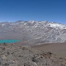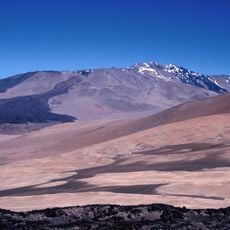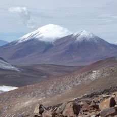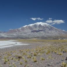
San Francisco Pass, Mountain pass at Chile-Argentina border
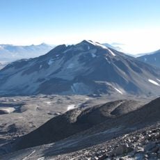
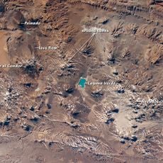
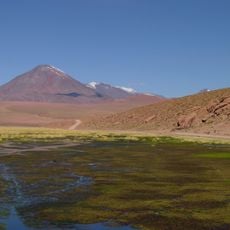
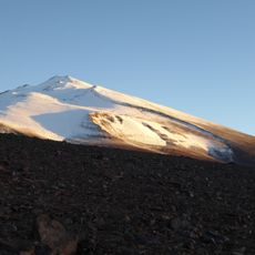
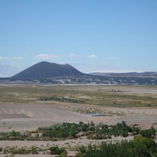
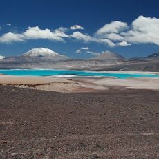
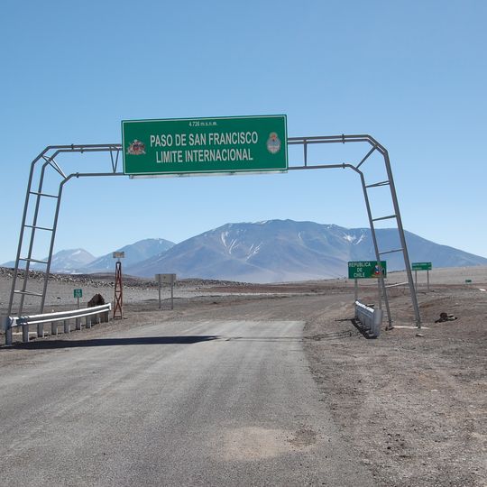
San Francisco Pass is an Andean crossing between Catamarca province, Argentina, and the Atacama Region, Chile, whose highest point is 4,726 m above sea level. On the Argentine side, RN 60 climbs from Fiambalá through the Chaschuil valley, and the last 20 km wind up from Las Grutas, at about 4,000 m, to the border. A green sign on a gray metal frame over the road marks the crossing with "4726 m.s.n.m.", "PASO DE SAN FRANCISCO" and "LIMITE INTERNACIONAL".
The pass linked Diaguita peoples on both sides of the Andes and was crossed by the Inca Túpac Yupanqui in 1479. In early 1536 Diego de Almagro's expedition is generally thought to have entered present-day Chile through it, though some argue for Pircas Negras. The Argentine-Chilean boundary here was only settled by the Buchanan award of 1899 and the 1902 award.
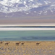
The sign at the border reads "PASO DE SAN FRANCISCO" and "LIMITE INTERNACIONAL" above "4726 m.s.n.m.", with a crest on each side. The pass has carried the Rally Dakar since 2010, the most used border crossing on its South American route. Vicuñas are often seen along the way.
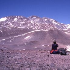
The route demands preparation for extreme altitude and rapidly changing conditions, making sturdy gear and current weather updates essential. Visitors should expect long travel times and not underestimate the physical demands of operating at this elevation.
The sign at the border reads "4726 m.s.n.m." and "LIMITE INTERNACIONAL", with a crest on each side. The pass is practicable most of the year, but heavy snowfalls fall in winter. Since 2010 it has been the border crossing most used by the Dakar Rally on South American soil.
The community of curious travelers
AroundUs brings together thousands of curated places, local tips, and hidden gems, enriched daily by 93,558 contributors worldwide.