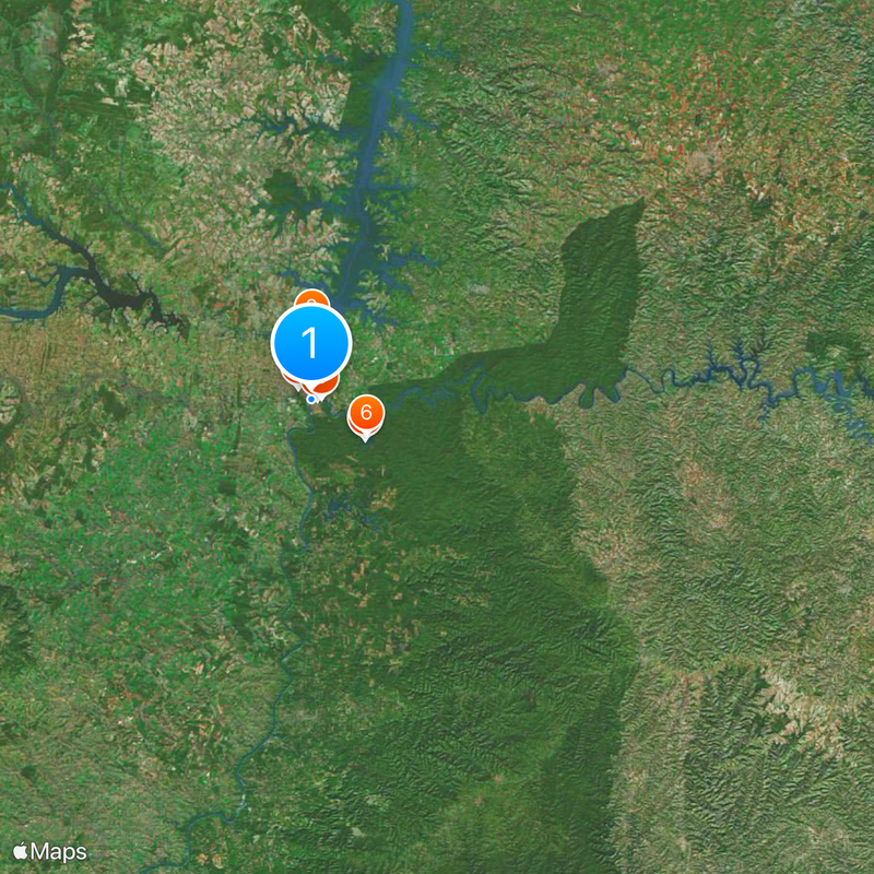
Argentina–Brazil border, International border between Argentina and Brazil, South America
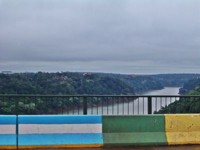
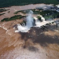
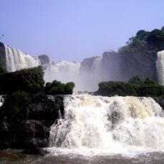
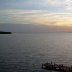
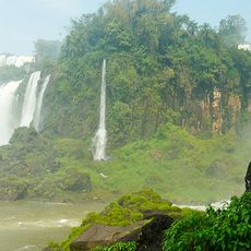
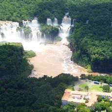
This border is a land boundary stretching about 1,224 kilometers (760 miles) across South America, defined by natural features like rivers, mountain ranges, and dense forests. The Iguazu, Santo Antônio, and Uruguay Rivers serve as the primary dividing lines along most of its length.
The boundary received official status through the Treaty of 1898 after an arbitration ruling by United States President Grover Cleveland in 1895 resolved a territorial dispute. This international decision marked the end of competing claims over the border's exact location.
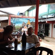
The region where these lands meet is a place where people constantly cross and share daily routines, foods, and traditions through border towns and river communities. Local inhabitants on both sides understand each other's ways and often maintain family ties that span the international line.
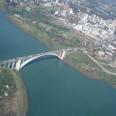
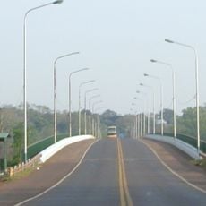
Most travelers cross at Puerto Iguazu, where they complete border formalities with Argentine authorities before proceeding to Brazilian control posts. Those visiting border regions should bring valid identification and expect standard immigration procedures at these official crossing points.
Approximately 310 boundary markers dot the border line, carefully placed to follow natural river courses and forest edges established during the demarcation process. These markers, often overlooked by casual visitors, represent the practical effort required to maintain such a long international boundary.
The community of curious travelers
AroundUs brings together thousands of curated places, local tips, and hidden gems, enriched daily by 60,000 contributors worldwide.