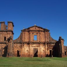
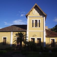
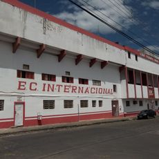
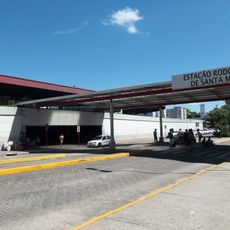
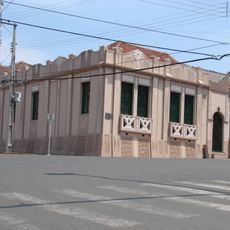
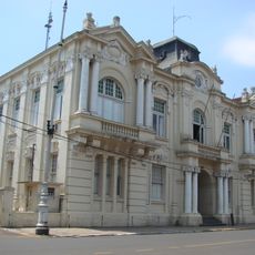
Tupanciretã, Municipality in Rio Grande do Sul, Brazil
Tupanciretã is a municipality in western Rio Grande do Sul situated at about 504 meters elevation. The area covers approximately 2,251 square kilometers and serves as a local administrative center for its population.
The municipality gained political independence on December 21, a pivotal moment in the development of the region. This date marks an important milestone in its local history.
The name comes from the indigenous Tupi language, showing how local heritage connects to the native peoples who once lived here. This linguistic link remains part of the community's identity today.
The area is hilly and located in an agricultural zone, so conditions vary by season. The best time to explore is during drier months when roads and paths are easier to navigate.
The higher elevation makes this location suitable for particular farming practices that are uncommon in southern Brazil. Many visitors overlook how much this geography shapes what grows in the fields around them.
The community of curious travelers
AroundUs brings together thousands of curated places, local tips, and hidden gems, enriched daily by 60,000 contributors worldwide.