Itapiranga

Log in to your account

AroundUs is a community-driven map of interesting places, built by curious explorers like you. It grows with every review, story, and photo you share.
Connect to save your favorite spots, contribute locations, and create personalized routes.
Continue with Google
Continue with Apple
Continue with X
Continue with Facebook
Continue with email
By continuing, you accept our Terms and Conditions and our Privacy Policy
Create an account
Add to collection
Map
Suggest a change
Share

Itapiranga, Border municipality in Santa Catarina, Brazil.

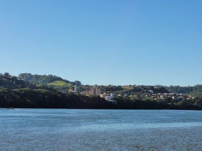
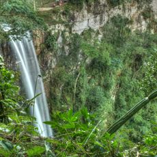
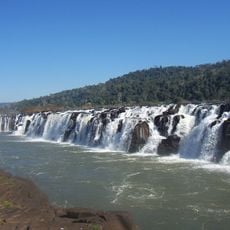
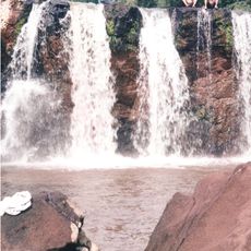
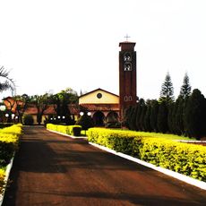
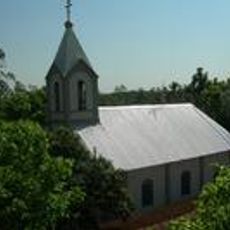
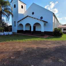
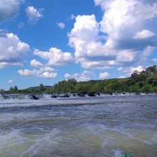
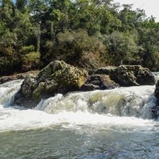
Itapiranga is a border municipality at the westernmost point of Santa Catarina, stretching along the Uruguay River and marking natural boundaries with Rio Grande do Sul and Argentina. The town sits at about 196 meters elevation in an area where river landscape and rural life shape the surroundings.

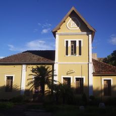
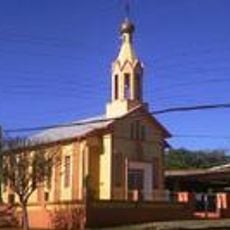
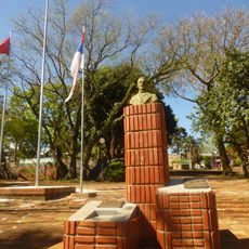
The settlement started in 1926 as Porto Novo, founded by the Popular Union Society from Rio Grande do Sul to create a colony for German Catholic families. This founding shaped the region's cultural and demographic character.

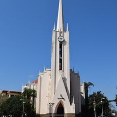
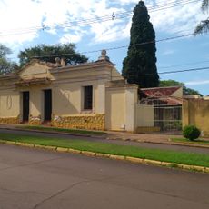
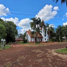
German heritage shapes daily life here, visible in the buildings, celebrations, and how people interact with each other. The local Riograndenser Hunsrückisch dialect still sounds in conversations among older residents, even though Portuguese has been the main language for generations.

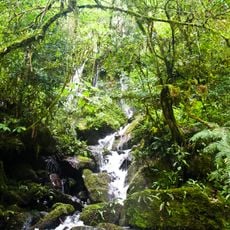
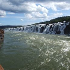
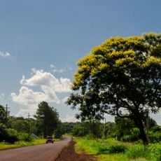
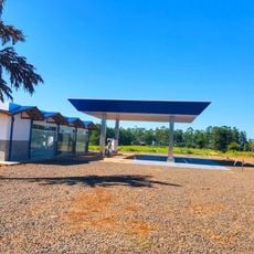
Visitors should know this is a border town with direct access to the Uruguay River and neighboring countries. Those exploring the area will find a rural setting with straightforward local infrastructure and no major urban complexity.

The name comes from Tupi-Guarani elements 'ita' and 'piranga', meaning 'red stone' in Portuguese and referring to the geological features of the area. This indigenous naming reflects the region's original inhabitants before European settlement began.

Location: Santa Catarina

Inception: 1953

Elevation above the sea: 196 m

Shares border with: Tunápolis, Barra do Guarita, São João do Oeste, Caiçara, Derrubadas, Mondaí, Pinheirinho do Vale, San Pedro Department

Website: http://itapiranga.sc.gov.br

GPS coordinates: -27.16889,-53.71194

Latest update: December 7, 2025 19:28

Photos
Reviews

Visited this place? Tap the stars to rate it and share your experience / photos with the community! Try now! You can cancel it anytime.

« Itapiranga - Border municipality in Santa Catarina, Brazil » is provided by Around Us (aroundus.com). Images and texts are derived from Wikimedia project under a Creative Commons license. You are allowed to copy, distribute, and modify copies of this page, under the conditions set by the license, as long as this note is clearly visible.

Discover hidden gems everywhere you go!

From secret cafés to breathtaking viewpoints, skip the crowded tourist spots and find places that match your style. Our app makes it easy with voice search, smart filtering, route optimization, and insider tips from travelers worldwide. Download now for the complete mobile experience.

Around Us App Screenshot

A unique approach to discovering new places

Le Figaro

All the places worth exploring

France Info

A tailor-made excursion in just a few clicks

20 Minutes