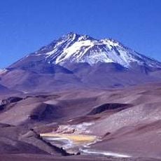
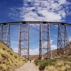
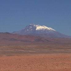
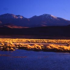
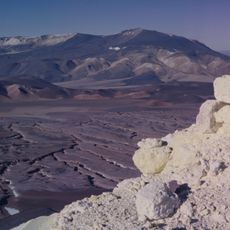
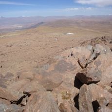
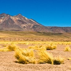
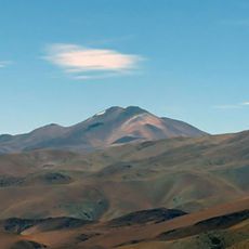
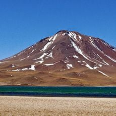
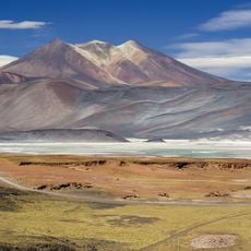
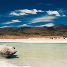
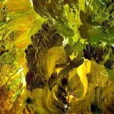
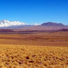
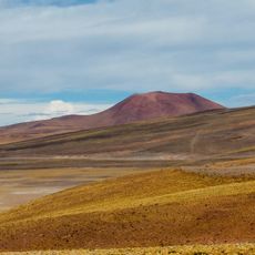
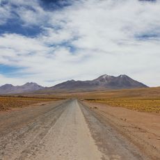
Salar de Arizaro, salt pan in Salta Province, Argentina
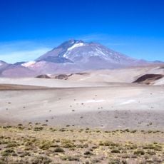
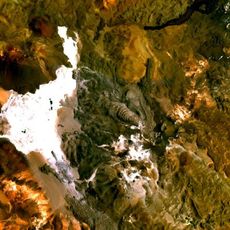
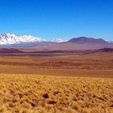
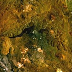
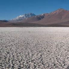
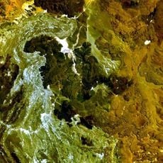
Salar de Arizaro is a 1,600 km² salt flat in the Puna de Atacama, Los Andes Department, Salta Province, at 3,460 m above sea level. It lies between Tolar Grande and Caipe, near Mina La Casualidad, and is crossed by the Salta–Antofagasta railway and Provincial Route 27. At its southern end stands the Cono de Arita, a cone-shaped sandstone hill rising about 200 m above the salt.
The salt pan formed through the evaporation of ancient water bodies over millions of years, leaving behind substantial mineral deposits. This geological process created a landscape with rich salt reserves.
Arizaro comes from the Kunza (Atacameño) words haâri, "condor", and ara or aro, "lodging", giving "condor roost": condors descended from the cordillera to feed on animals that died along the route. Cattle from the Valle de Lerma were driven through here to Chile for sale, which is why the name refers to the birds. Other authors derive it from Quechua ari-saru, "wounding tracks", for the sharp salt crust.
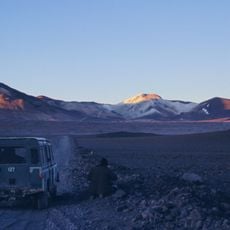
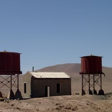
The Salar de Arizaro is crossed mid-way by Provincial Route 27, the former RN 59, and by the Salta–Antofagasta railway. The usual base is Tolar Grande, where local guides can be hired; the villages of Caipe and Mina La Casualidad lie nearby. The flat lies at 3,460 m, so allow time to acclimatise and carry food, water and fuel, as the area is very isolated.
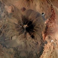
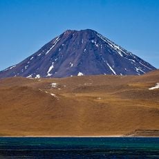
The Cono de Arita, at the southern end of the salt pan, rises about 200 m above the salt to a summit at 3,689 m. Its near-perfect cone has led some authors to consider it a possible Inca ceremonial centre, though its origin remains debated.
The community of curious travelers
AroundUs brings together thousands of curated places, local tips, and hidden gems, enriched daily by 92,744 contributors worldwide.