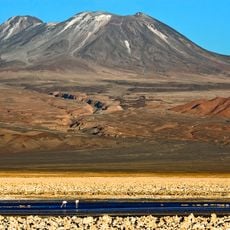
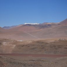
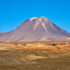
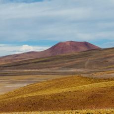
Chiliques, Stratovolcano in Antofagasta Region, Chile
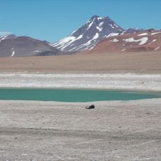
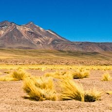
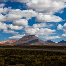
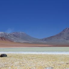
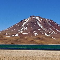
Chiliques is a stratovolcano near San Pedro de Atacama that reaches 5,778 meters (18,957 feet) in elevation with a summit crater containing two lakes. These lakes sit in the northern and eastern sections of the crater, creating a distinctive high-altitude landscape.
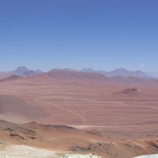
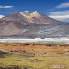
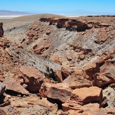
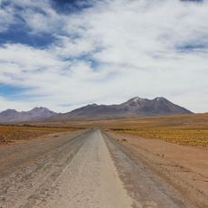
Early formation involved a block lava field that extended northeast from the volcano, creating the foundation of the structure. Later eruptions produced extensive lava flows that spread across the surrounding terrain, reshaping the landscape over time.
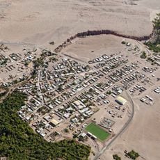
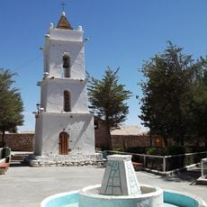
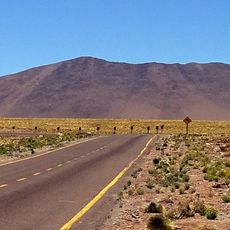
Local residents of Socaire view this volcano as a sacred water source and natural landmark that shapes their spiritual practices. The peak frames their view of sunrise during important celebrations, making it central to their sense of place.
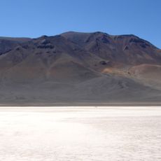
Climbing this volcano requires prior acclimatization through at least two separate climbs above 4,000 meters (13,123 feet) and specialized mountaineering gear for high-altitude conditions. Working with an experienced mountain guide is essential for managing the challenging terrain and extreme environment.
Satellite data from 2002 detected temperature differences up to 15 degrees Celsius (27 degrees Fahrenheit) at the summit crater, suggesting hidden thermal activity in the crater lakes. These heat signatures reveal that volcanic processes continue beneath this remote high-altitude location.
The community of curious travelers
AroundUs brings together thousands of curated places, local tips, and hidden gems, enriched daily by 60,000 contributors worldwide.