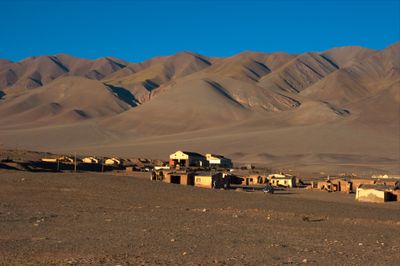
Tolar Grande, High-altitude municipality in Los Andes Department, Argentina.
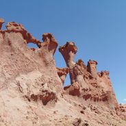
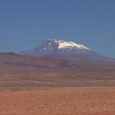
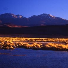
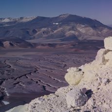
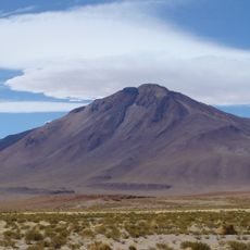
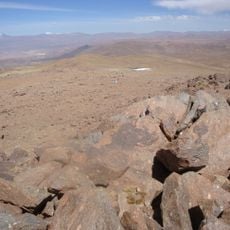
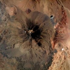
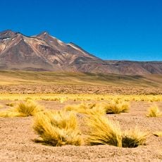
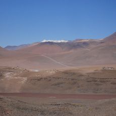
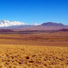
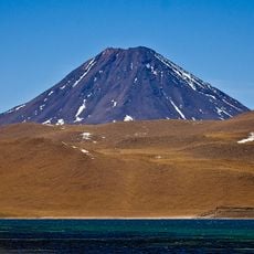
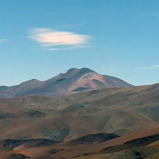
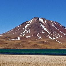
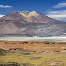
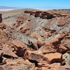
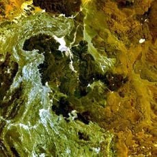
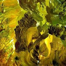
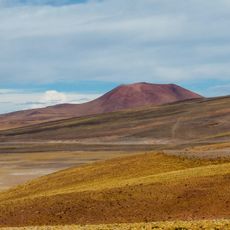
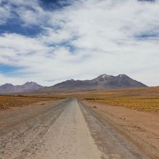
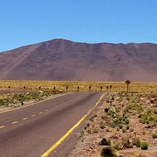
Tolar Grande is a high-altitude municipality in Argentina's Salta Province, situated at around 3,500 meters elevation. The territory sprawls across vast mountain landscapes in northwestern Argentina, defined by bare ridges and wide valleys.
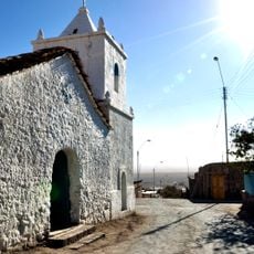
The area experienced growth in the mid-20th century through mining activities, particularly sulfur extraction in local mines. This economic activity brought more people to the plateau and reshaped settlement patterns in the region.
The people here maintain ties to Andean traditions through local customs and seasonal celebrations that reflect their heritage. This blend of indigenous practices and Spanish colonial influences shapes daily life in the remote settlement.
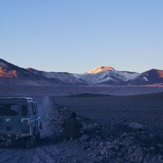
Access requires a suitable vehicle and careful planning, as the municipality is located far from larger towns. Visitors should prepare for extreme weather conditions and sparse services when traveling to this remote region.
The region experiences dramatic temperature swings within a single day due to its high-altitude location. Such sharp shifts between sunlight and shadow are a normal part of the climate in this mountain landscape.
Location: Los Andes Department
Elevation above the sea: 3,508 m
Website: http://tolargrande.gov.ar
GPS coordinates: -24.54980,-67.39670
Latest update: December 6, 2025 16:02
Northwest Argentina is a region where deserts, wine regions and Andean valleys coexist. Salt flats, striking rock formations, pre-Columbian sites and traditional mountain villages define this landscape. The terrain shifts between bare highlands, colorful mountain ranges and green valleys where small...
Llullaillaco
116.9 km
Polvorilla viaduct
106.8 km
Socompa
87.7 km
Antofalla
122.9 km
Lastarria
131.2 km
Cerro Tuzgle
108.2 km
Large Latin American Millimeter Array
101.6 km
Aracar
48.7 km
Miñiques Volcano
89.5 km
Q&U Bolometric Interferometer for Cosmology
101.6 km
El Laco
82.1 km
Pular
77.8 km
Chiliques
111.9 km
Cerro Escorial
114.5 km
Caverna Puente del Diablo
124.7 km
Volcán Quehuar
72.5 km
Cerro Miscanti
102.8 km
Cerros de Incahuasi
60.5 km
Caichinque
75.4 km
Salar de Aguas Calientes IV
134.2 km
Tilocálar
98.1 km
El Negrillar
95.7 km
La Negrillar
125.5 km
Cerro Toloncha
89.8 km
Cerro Murchota
79.1 km
Lejía
116.8 km
Cerro Cosor
81.9 km
Pueblo abierto de Peine
118 kmVisited this place? Tap the stars to rate it and share your experience / photos with the community! Try now! You can cancel it anytime.
Discover hidden gems everywhere you go!
From secret cafés to breathtaking viewpoints, skip the crowded tourist spots and find places that match your style. Our app makes it easy with voice search, smart filtering, route optimization, and insider tips from travelers worldwide. Download now for the complete mobile experience.
A unique approach to discovering new places❞
— Le Figaro
All the places worth exploring❞
— France Info
A tailor-made excursion in just a few clicks❞
— 20 Minutes