Enable Location

We need your location to show you interesting places around you

Discover nearby places

Find interesting locations and hidden gems around you

Precise directions

Get accurate directions and distances to places

Your location is never shared with other users. It's only used when you tap the location button.

Nonoai

Log in to your account

Start exploring — it's free

Trusted by 62,033 travelers worldwide

Continue with Google
Continue with Apple
or

We will send you a code to connect

By continuing, you accept our Terms and Conditions and our Privacy Policy

Check your inbox

We've sent a pincode in your inbox. Please enter the code below.

Nonoai, Municipality in northwestern Rio Grande do Sul, Brazil

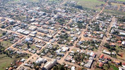
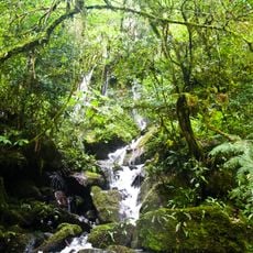
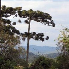
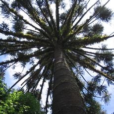
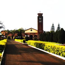
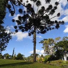
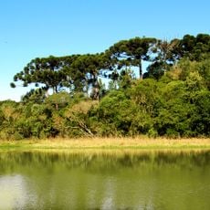
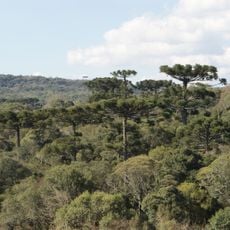
Nonoai is a municipality in northwestern Rio Grande do Sul covering an area suited to farming and forestry across rolling terrain. The landscape rises to about 584 meters and presents a rural character shaped by agriculture and natural plant growth.

The region was home to Guarani and Kaingang peoples before becoming an official municipality in 1959. This establishment marked the transition from indigenous territory to modern municipal governance.

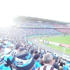
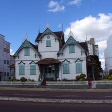
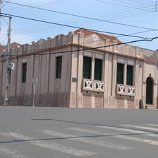
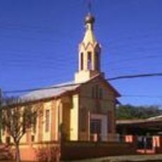
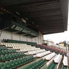
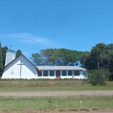
The population combines descendants of European immigrants with indigenous heritage, creating a mix of traditions visible in local festivals and customs.

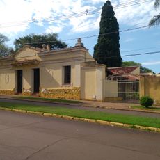
The municipality connects to neighboring towns by road with regular bus services to larger centers in Rio Grande do Sul. Roads pass through both flat and rolling terrain, making a private vehicle useful for exploring the area.

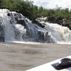
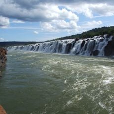
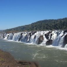
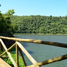
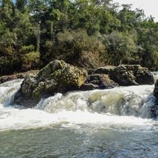
The territory borders the Uruguai River, which forms the natural boundary between Rio Grande do Sul and Santa Catarina. This river shapes the northern landscape and serves as a striking geographical reference point.

The community of curious travelers

AroundUs brings together thousands of curated places, local tips, and hidden gems, enriched daily by 60,000 contributors worldwide.

Start exploring
Elevation above the sea
584 m
Shares border with
Trindade do Sul, Alpestre, Benjamin Constant do Sul, Chapecó, Entre Rios do Sul, Erval Grande, Faxinalzinho, Gramado dos Loureiros, Guatambu, Liberato Salzano, Planalto, Rio dos Índios, Rodeio Bonito
GPS coordinates
-27.36194,-52.77083
Latest update
December 7, 2025 20:44
« Nonoai - Municipality in northwestern Rio Grande do Sul, Brazil » is provided by Around Us (aroundus.com). Images and texts are derived from Wikimedia project under a Creative Commons license. You are allowed to copy, distribute, and modify copies of this page, under the conditions set by the license, as long as this note is clearly visible.

Discover hidden gems everywhere you go!

From secret cafés to breathtaking viewpoints, skip the crowded tourist spots and find places that match your style. Our app makes it easy with voice search, smart filtering, route optimization, and insider tips from travelers worldwide. Download now for the complete mobile experience.

Around Us App Screenshot

A unique approach to discovering new places

Le Figaro

All the places worth exploring

France Info

A tailor-made excursion in just a few clicks

20 Minutes

Around Us
Travel Guide & Maps
Download

Send to your phone

QR Code
1

Open the camera app on your mobile.

2

Point at the QR code with your camera. A notification will appear.

3

Tap the notification to open the link.