
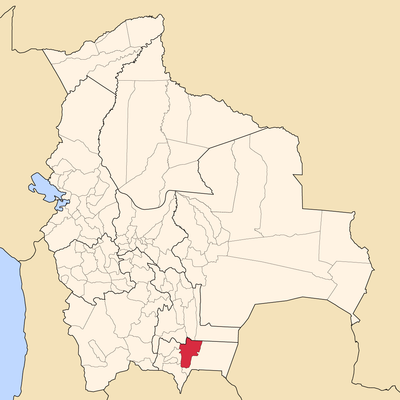
Burdett O'Connor Province, province of Bolivia
Location: Tarija Department
GPS coordinates: -21.50000,-64.08333
Latest update: March 11, 2025 11:06
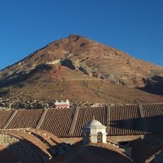
Cerro Rico
272 km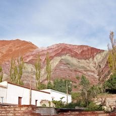
Quebrada de Humahuaca
229.7 km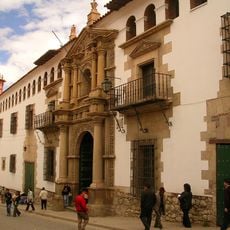
National Mint of Bolivia
275 km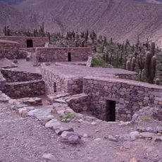
Pucará de Tilcara
269.2 km
Calilegua National Park
250.4 km
Baritú National Park
132.6 km
Tariquía Flora and Fauna National Reserve
60.3 km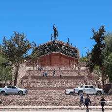
Monument to the Heroes of Independence
230.2 km
Reserva de biosfera de Yungas
191.8 km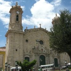
Cathedral Basilica of Our Lady of Peace, Potosí
274.9 km
Cordillera de Sama Biological Reserve
86.5 km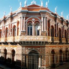
Casa Dorada, Tarija
67.5 km
Aguaragüe Integrated Management Natural Area
50.1 km
Iñao National Park and Integrated Management Natural Area
231.6 km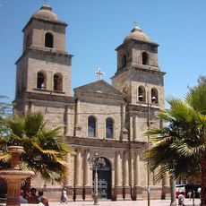
Tarija Cathedral
67.7 km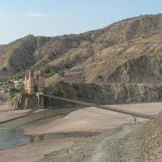
Antonio José de Sucre Bridge
264.6 km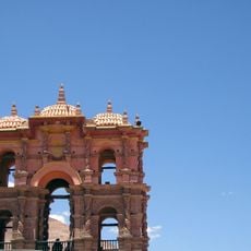
Torre de la Compañía
275 km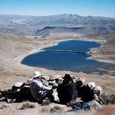
Potosí mountain range
258.8 km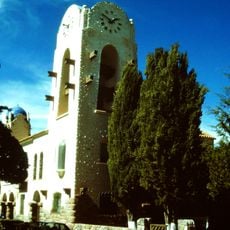
Cabildo de Humahuaca
230.1 km
Cañón del Pilaya
90.4 km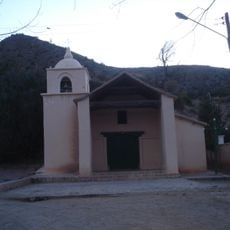
Capilla de la Inmaculada Concepción
251.6 km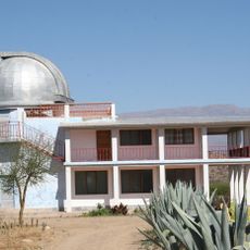
Bolivian National Observatory at Tarija
57 km
Camataqui Municipality
136.4 km
Floresta (Santa Cruz)
199.5 km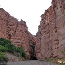
Magical
172.7 km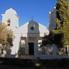
Humahuaca Cathedral
230.1 km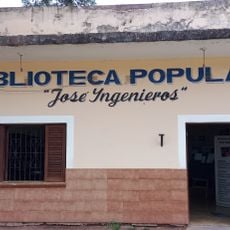
Biblioteca Popular José Ingenieros
254.8 km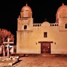
Capilla de Tilcara
267.5 kmReviews
Visited this place? Tap the stars to rate it and share your experience / photos with the community! Try now! You can cancel it anytime.
Discover hidden gems everywhere you go!
From secret cafés to breathtaking viewpoints, skip the crowded tourist spots and find places that match your style. Our app makes it easy with voice search, smart filtering, route optimization, and insider tips from travelers worldwide. Download now for the complete mobile experience.

A unique approach to discovering new places❞
— Le Figaro
All the places worth exploring❞
— France Info
A tailor-made excursion in just a few clicks❞
— 20 Minutes