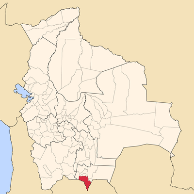
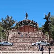
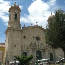
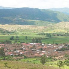
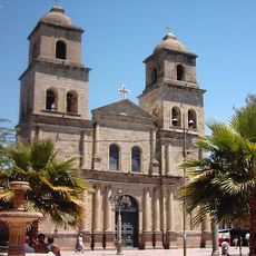
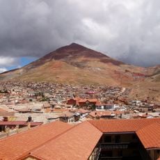
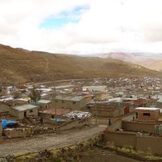
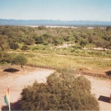
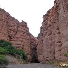
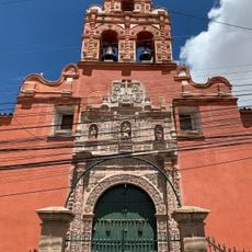
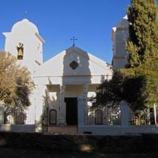
Aniceto Arce Province, province of Tarija
The community of curious travelers
AroundUs brings together thousands of curated places, local tips, and hidden gems, enriched daily by 60,000 contributors worldwide.
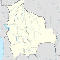
Location
Capital city
Padcaya
Elevation above the sea
813 m
GPS coordinates
-21.25000,-64.58333
Latest update
March 8, 2025 17:29