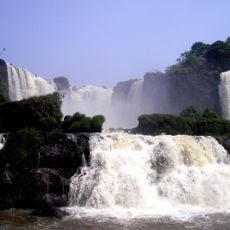
Iguazu River, River system between Serra do Mar mountains and Paraná River in Brazil and Argentina.
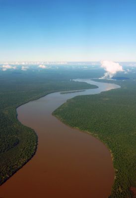
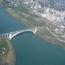
The Iguazu is a major river in South America that spans roughly 1,300 kilometers and forms the border between Brazil and Argentina. It eventually merges with the Paraná River, shaping the geography of the entire region.
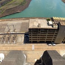
European explorers charted the river during colonial times, long after indigenous peoples had established settlements in the area. Its water power later became the foundation for major dams that shaped the region's economic development.
The river holds deep meaning for indigenous Guaraní communities, whose name for it translates to 'great water' in their language. Local people have shaped their lives and traditions around this waterway for generations.
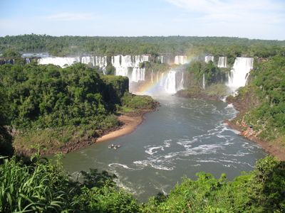
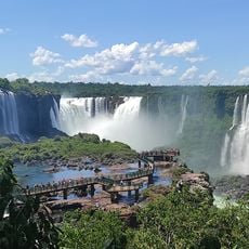
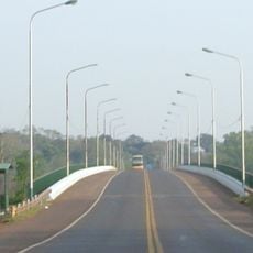
The best time to visit the region is during the dry season, when water levels are more manageable and visibility improves. Multiple dams along the river offer viewpoints, though most access roads are concentrated on one side.
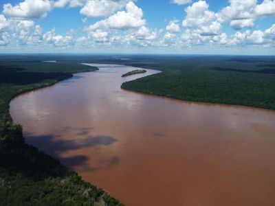
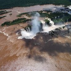
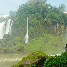
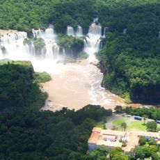
The river's water has a reddish-brown color that becomes strikingly visible where it meets the clearer waters of the Paraná. This coloring comes from minerals and organic matter stirred up from the riverbed upstream.
The community of curious travelers
AroundUs brings together thousands of curated places, local tips, and hidden gems, enriched daily by 60,000 contributors worldwide.