Prata River

Log in to your account

AroundUs is a community-driven map of interesting places, built by curious explorers like you. It grows with every review, story, and photo you share.
Connect to save your favorite spots, contribute locations, and create personalized routes.
Continue with Google
Continue with Apple
Continue with X
Continue with Facebook
Continue with email
By continuing, you accept our Terms and Conditions and our Privacy Policy
Create an account

Prata River

Add to collection
Map
Suggest a change
Share

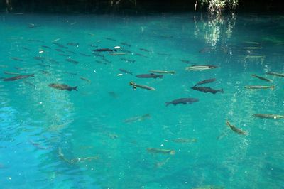
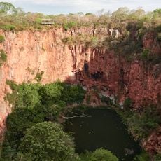
Prata River, Natural river in Mato Grosso do Sul, Brazil.

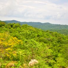
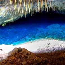
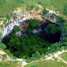
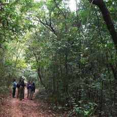
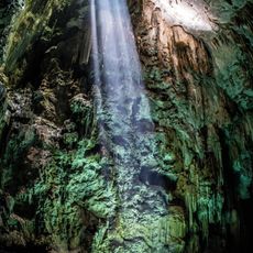
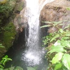
Prata River flows through dense vegetation and features clear waters that reveal numerous fish species moving below the surface. The river is lined with limestone formations that naturally filter the water, contributing to its transparency.

The river took shape through geological processes over millions of years, with limestone formations gradually developing along its course. These natural structures continue to define the river's appearance and water quality today.

Local communities practice traditional fishing in specific river sections while supporting conservation through regulated tourism activities. This balance shows how people maintain their connection to the waterway while protecting it for the future.

Visitors should book snorkeling tours in advance, as spots are limited and include equipment rental and safety instruction. The best time to visit is during the dry season when water visibility is at its best.

The river is home to about 56 different fish species, including the yellow-finned Piraputanga and red Mato Grosso fish, clearly visible through the clear water. This diversity makes every snorkeling session a special viewing experience.

Location: Mato Grosso do Sul

GPS coordinates: -21.35000,-56.16667

Latest update: December 6, 2025 17:44

Photos
Natural spots and local places in Brazil

Brazil has natural areas and local sites away from major cities. The landscape ranges from waterfalls and caves to coastal regions and mountains. National parks hold sand formations, lagoons, and coral reefs. Cultural places include traditional villages and historical sites. Visitors can explore...

Natural areas of central west Brazil: waterfalls, caves, national parks

The central west region of Brazil encompasses states including Goiás, Mato Grosso and Mato Grosso do Sul. These areas contain national parks with hiking trails, waterfalls and cave systems. Chapada dos Veadeiros National Park near Alto Paraíso de Goiás displays cerrado vegetation and rock...

Reviews

Visited this place? Tap the stars to rate it and share your experience / photos with the community! Try now! You can cancel it anytime.

« Prata River - Natural river in Mato Grosso do Sul, Brazil » is provided by Around Us (aroundus.com). Images and texts are derived from Wikimedia project under a Creative Commons license. You are allowed to copy, distribute, and modify copies of this page, under the conditions set by the license, as long as this note is clearly visible.

Discover hidden gems everywhere you go!

From secret cafés to breathtaking viewpoints, skip the crowded tourist spots and find places that match your style. Our app makes it easy with voice search, smart filtering, route optimization, and insider tips from travelers worldwide. Download now for the complete mobile experience.

Around Us App Screenshot

A unique approach to discovering new places

Le Figaro

All the places worth exploring

France Info

A tailor-made excursion in just a few clicks

20 Minutes