Guarulhos, Metropolitan municipality in São Paulo, Brazil
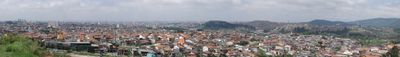
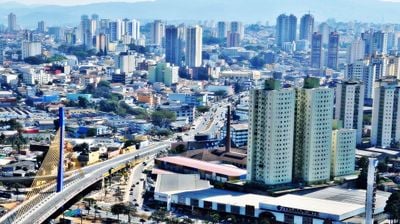
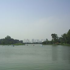
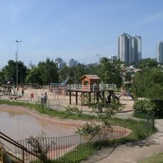
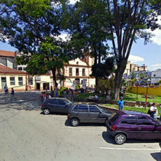
Guarulhos spreads across a large area within the São Paulo metropolitan region and ranks as the second most populated center in the state. The municipality sits in a hilly landscape with residential neighborhoods, industrial zones, and extended green spaces scattered between the urban centers.
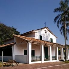
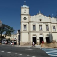
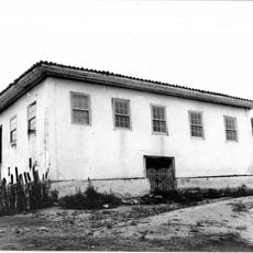
The settlement began in 1560 when Jesuit priest Manuel de Paiva founded several villages to protect São Paulo de Piratininga from hostile tribes. Over the centuries, the region transformed from small villages into a major urban center shaped by immigration and industrialization.
The name comes from the Tupi language of indigenous people who once lived in the region, referring to those known for their appetite. Today, local families connect these roots to their everyday identity, while newcomers from other Brazilian states help shape the growing neighborhoods.
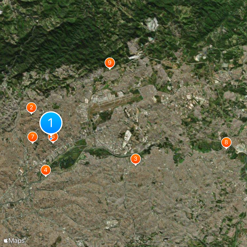
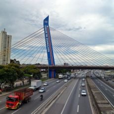
Several highways and the CPTM rail line connect the municipality to São Paulo, offering travelers different ways to move around. Visitors should note that the road network gets heavy during rush hours, so early mornings or late afternoons work better for travel.
The international airport terminal within the municipality is the largest in South America, processing millions of passengers each year through its three main buildings. The sprawling runways extend across wide areas, making the airport a gateway for travelers from around the world.
The community of curious travelers
AroundUs brings together thousands of curated places, local tips, and hidden gems, enriched daily by 60,000 contributors worldwide.