Bocaina Mountain National Park, National park between São Paulo and Rio de Janeiro states, Brazil
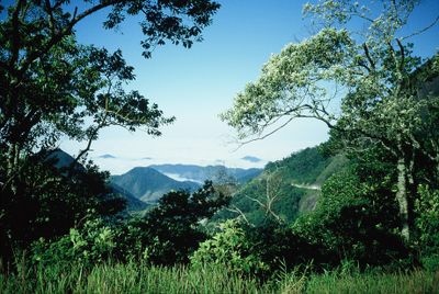
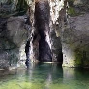
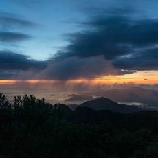
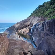
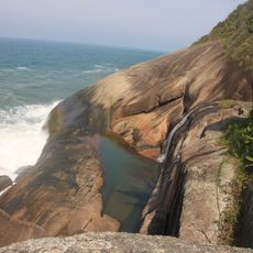
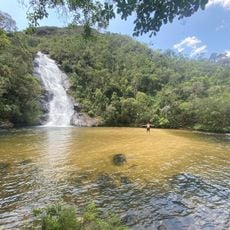
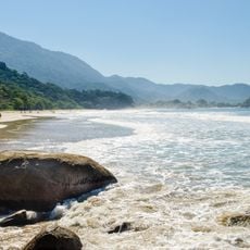
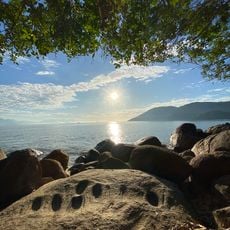
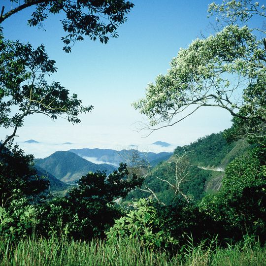
Serra da Bocaina National Park is a segment of the Serra do Mar, straddling the Rio de Janeiro–São Paulo border; about 60% lies in Rio de Janeiro and 40% in São Paulo. Its highest point is Pico do Tira o Chapéu at 2,088 metres. The Santo Isidro, Posses and Veados waterfalls lie within the park, and its entrance marks the start of the final 73-kilometre stretch of the Gold Trail to Mambucaba beach.
The park was created by federal decree in 1971, covering about 134,000 hectares of the Serra do Mar. Its stated purpose was to establish a shield of native vegetation on the escarpments as protection against a possible nuclear accident at the Angra I and II plants. It is managed by ICMBio, with headquarters in São José do Barreiro.
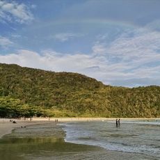
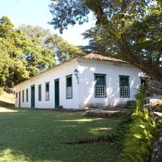
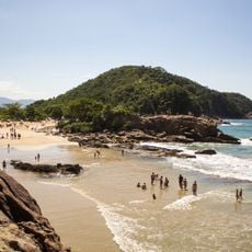
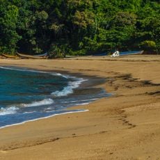
The park entrance marks the start of the final roughly 73 km stretch of the Trilha do Ouro, the Gold Trail, which ends at Mambucaba beach in Angra dos Reis. The route recalls the colonial paths used to move gold from the interior to the coast. The park is part of the 221,754-hectare Bocaina Mosaic, created in 2006.
Plan your visit during drier months when trails are easier to navigate and waterfalls are safely accessible. The park headquarters in São José do Barreiro provides maps and guidance for exploring the different routes.
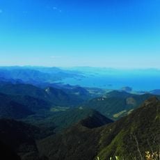
Pico do Tira o Chapéu, the park's tallest peak at about 2,088 meters (6,850 feet), ranks among the highest elevations in São Paulo state. Standing on this summit offers views that stretch across the two states below.
The community of curious travelers
AroundUs brings together thousands of curated places, local tips, and hidden gems, enriched daily by 94,040 contributors worldwide.