
Yacuma Province, province of Bolivia
Location: Beni Department
Elevation above the sea: 152 m
GPS coordinates: -13.58333,-65.91667
Latest update: April 17, 2025 01:13
Tambopata National Reserve
372 km
Madidi National Park and Integrated Management Natural Area
274.1 km
Fort Prince of Beira
206.9 km
Isiboro Sécure National Park and Indigenous Territory
223 km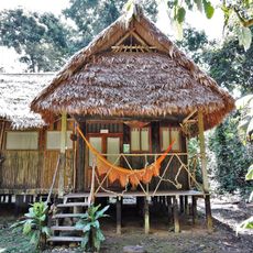
Chalalan
235.1 km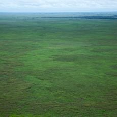
Beni Biological Station Biosphere Reserve
276.8 km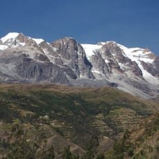
Illampu
376.5 km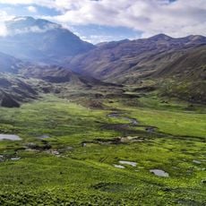
Cotapata National Park and Integrated Management Natural Area
362.6 km
Pilón Lajas Biosphere Reserve and Communal Lands
209.8 km
President Guillermo Billinghurst Bridge
370 km
Manuripi-Heath Amazonian Wildlife National Reserve
299.6 km
Apolobamba Integrated Management Natural Area
350.3 km
Iskanwaya
365.3 km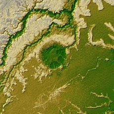
Iturralde Crater
220.6 km
Chaupi Orco
376.2 km
Municipal Protected Area Pampas of the Yacuma River
94 km
La Senda Verde
353.7 km
Chachakumani
376.4 km
Casarabe culture
211.1 km
Jach'a Waracha
374.3 km
Ibare-Mamoré
177.2 km
Rio Cautário Federal Extractive Reserve
268.6 km
Rio Cautário State Extractive Reserve
245.6 km
Ch'uñawi
376 km
Ch'uch'u
372.3 km
Rio Ouro Preto Extractive Reserve
341.4 km
Centro Acuático Porvenir
365.7 km
José Ballivián
177.1 kmReviews
Visited this place? Tap the stars to rate it and share your experience / photos with the community! Try now! You can cancel it anytime.
Discover hidden gems everywhere you go!
From secret cafés to breathtaking viewpoints, skip the crowded tourist spots and find places that match your style. Our app makes it easy with voice search, smart filtering, route optimization, and insider tips from travelers worldwide. Download now for the complete mobile experience.

A unique approach to discovering new places❞
— Le Figaro
All the places worth exploring❞
— France Info
A tailor-made excursion in just a few clicks❞
— 20 Minutes