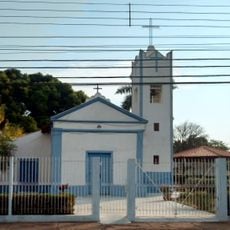
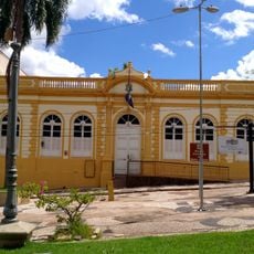
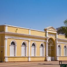
Santo Antônio de Leverger, Municipality in southern Mato Grosso, Brazil
Santo Antônio de Leverger is a municipality in southern Mato Grosso that covers a large area in this Brazilian region. The town sits in an area with moderate elevations and is shaped by the geographical diversity of the surrounding landscape.
The municipality has maintained a relatively stable population over recent decades, reflecting how the region has navigated demographic shifts. This consistency shows how the community has remained rooted in the state's broader economic and social development.
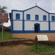
The annual Tradição e Folia festival brings together local communities in festive celebrations with music, dance, and traditional customs. Visitors can experience how the town connects to its roots through these joyful gatherings.
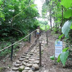
Visitors should know that the region covers a large area and the best time to visit is from April through October when the weather is drier. Good road connections link the main town with smaller settlements across the municipality, making a car the most practical option for getting around.
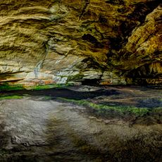
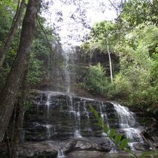
The Águas Quentes State Park within the municipality contains natural thermal waters known for their healing properties. This protected area gives visitors a rare chance to experience natural hot springs in the middle of the regional landscape.
Location: Mato Grosso
Elevation above the sea: 168 m
Shares border with: Barão de Melgaço, Campo Verde, Chapada dos Guimarães, Corumbá, Cuiabá, Itiquira, Jaciara, Juscimeira, Nossa Senhora do Livramento, Rondonópolis, Várzea Grande
Website: http://leverger.mt.gov.br
GPS coordinates: -15.86583,-56.07694
Latest update: December 7, 2025 20:45
Arena Pantaloneta
29.6 km
Chapada dos Guimarães National Park
66.5 km
Church of Our Lady of the Rosary and Saint Benedict
30.2 km
Estádio José Fragelli
29.6 km
Mãe Bonifácia State Park
32 km
Cathedral Basilica of the Good Lord Jesus, Cuiabá
29.9 km
Ponte Sérgio Motta
26 km
Palácio Paiaguás
33.3 km
Catarata Véu da Noiva
38.7 km
Igreja Nossa Senhora do Bom Despacho
29.4 km
Stade Engenheiro Luthero Lopes
171.1 km
Igreja de Nossa Senhora Auxiliadora
29.2 km
Museu do Morro da Caixa D'Água Velha
29.8 km
Igreja de Nossa Senhora da Guia
24.5 km
Encontro das Águas State Park
154.2 km
Mato Grosso Historical Museum
29.8 km
Museu do Rio Cuiabá
28.1 km
Museu Rondon
28 km
Museu de Arte e de Cultura Popular
28.3 km
Caverna Aroe Jari
101 km
Águas Quentes State Park
59.9 km
Itaicy Factory
27.9 km
Museum of Image and Sound of Cuiabá
30.2 km
Igreja da Sé de Santana
57.4 km
Teatro Universitário
28.5 km
Cachoeira do Prata
120.8 km
Multiplex Pantanal
31.8 kmVisited this place? Tap the stars to rate it and share your experience / photos with the community! Try now! You can cancel it anytime.
Discover hidden gems everywhere you go!
From secret cafés to breathtaking viewpoints, skip the crowded tourist spots and find places that match your style. Our app makes it easy with voice search, smart filtering, route optimization, and insider tips from travelers worldwide. Download now for the complete mobile experience.
A unique approach to discovering new places❞
— Le Figaro
All the places worth exploring❞
— France Info
A tailor-made excursion in just a few clicks❞
— 20 Minutes