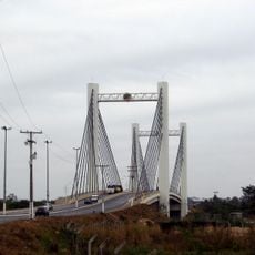
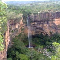
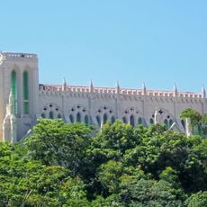
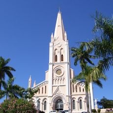
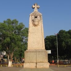
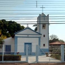
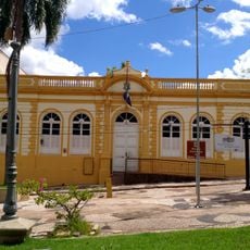
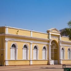
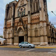
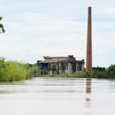
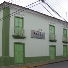
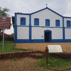
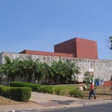
Nossa Senhora do Livramento, municipality of Brazil
Location: Mato Grosso
Elevation above the sea: 232 m
Shares border with: , Barão de Melgaço, Cáceres, Cuiabá, Jangada, Porto Estrela, Rosário Oeste, Santo Antônio de Leverger, Várzea Grande
Website: https://nossasenhoradolivramento.mt.gov.br
GPS coordinates: -15.77500,-56.34583
Latest update: March 4, 2025 03:25
Arena Pantaloneta
30.8 km
Chapada dos Guimarães National Park
73.4 km
Church of Our Lady of the Rosary and Saint Benedict
33.8 km
Estádio José Fragelli
30.8 km
Mãe Bonifácia State Park
33.8 km
Cathedral Basilica of the Good Lord Jesus, Cuiabá
33.3 km
Historic Centre of Cuiabá
33.8 km
Ponte Sérgio Motta
32.4 km
Palácio Paiaguás
37.2 km
Catarata Véu da Noiva
10.4 km
Igreja Nossa Senhora do Bom Despacho
33 km
Igreja de Nossa Senhora Auxiliadora (Cuiabá)
32.6 km
Marco do Jauru
147.2 km
Museu do Morro da Caixa D'Água Velha
32.7 km
Igreja de Nossa Senhora da Guia
26.7 km
Encontro das Águas State Park
154.2 km
Mato Grosso Historical Museum
33.2 km
Museu do Rio Cuiabá
31.1 km
Museu Rondon
34.4 km
Cathedral of St. Louis of France
147.1 km
Museu de Arte e de Cultura Popular
35.2 km
Águas Quentes State Park
89.5 km
Itaicy Factory
56.6 km
Museum of Image and Sound of Cuiabá
33.6 km
Igreja da Sé de Santana
73.2 km
Teatro Universitário
35.4 km
Cachoeira do Funil
51.3 km
Multiplex Pantanal
35.9 kmReviews
Visited this place? Tap the stars to rate it and share your experience / photos with the community! Try now! You can cancel it anytime.
Discover hidden gems everywhere you go!
From secret cafés to breathtaking viewpoints, skip the crowded tourist spots and find places that match your style. Our app makes it easy with voice search, smart filtering, route optimization, and insider tips from travelers worldwide. Download now for the complete mobile experience.
A unique approach to discovering new places❞
— Le Figaro
All the places worth exploring❞
— France Info
A tailor-made excursion in just a few clicks❞
— 20 Minutes