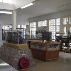
Erongo Region, Administrative region in central-western Namibia.
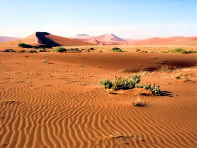
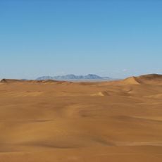
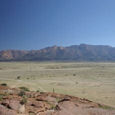
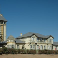
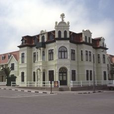
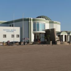
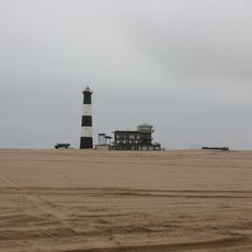
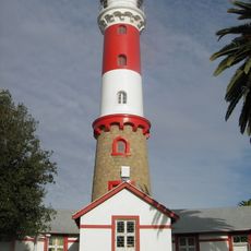
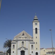
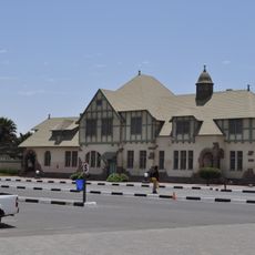
Erongo spans from the Atlantic coast inland to mountain ranges, featuring granite rock formations, desert areas, and coastal towns. The landscape connects several communities including Walvis Bay, Swakopmund, Henties Bay, and Omaruru through paved roads.
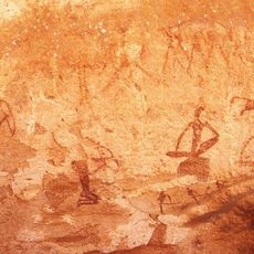
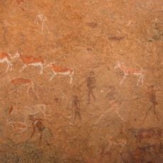
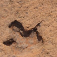
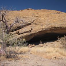
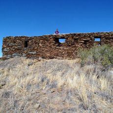
Archaeological sites in the Erongo Mountains contain stone tools dating to around 3500 BC, revealing early human settlements in caves. The region was inhabited continuously across thousands of years by different groups who left traces of their presence.
Rock paintings left by the San people can be seen in caves like Phillipp's Cave, where handprints and hunting scenes depict their daily survival and spiritual beliefs. These artworks show how early communities understood and related to their environment.
Travel through the region is straightforward thanks to well-maintained paved roads connecting all major towns and centers. Visitors should plan ahead for supplies and water when heading to remote areas, as services can be sparse.
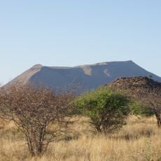
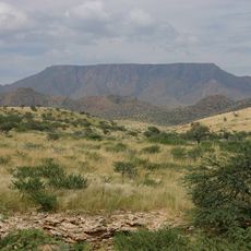
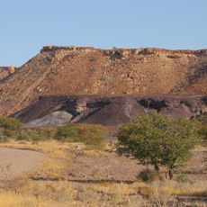
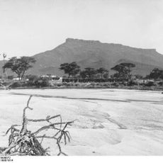
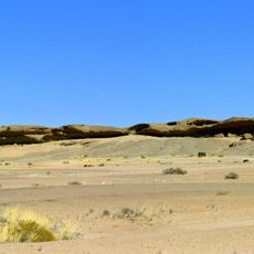
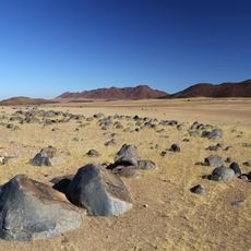
Mount Erongo, the region's namesake, was created from ancient volcanic formations dating back about 130 million years when magma cooled beneath the earth. This geological history is visible in the distinctive rock shapes and patterns visible throughout the mountain.
The community of curious travelers
AroundUs brings together thousands of curated places, local tips, and hidden gems, enriched daily by 60,000 contributors worldwide.