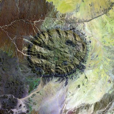
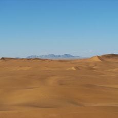
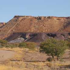
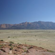
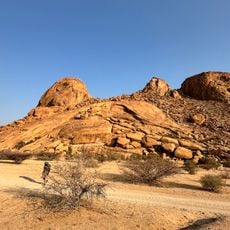
Brandberg, Mountain range in Erongo Region, Namibia
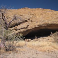
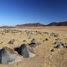
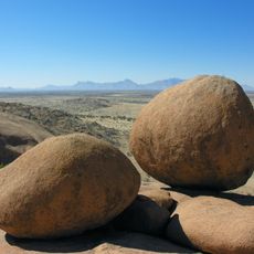
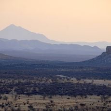
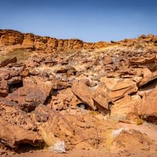
Brandberg is a circular granite mountain system in northwestern Namibia rising to a significant elevation. The formation features numerous ravines, rock shelters, and cliff faces that have been shaped by natural erosion over geological time.
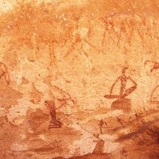
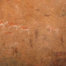
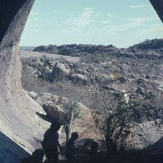
The San people created rock paintings in the mountain's shelters and crevices thousands of years ago. These artworks developed over an extended period and provide insight into how early inhabitants used and valued this land.
The San people created rock paintings throughout the mountain that remain visible on the cliff faces today. These works show how early inhabitants depicted their lives and their connection to the natural world.
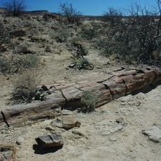
Visitors should explore the mountain with experienced guides and bring plenty of water, as conditions can be demanding in this terrain. The best time to visit is during cooler months when temperatures are more comfortable for hiking.
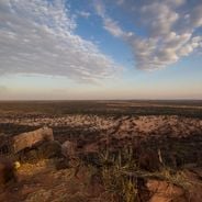
The name comes from the reddish glow of the granite peaks at sunrise and sunset, when light bathes the mountainside in warm color. This natural display has long caught the attention of travelers passing through the region.
The community of curious travelers
AroundUs brings together thousands of curated places, local tips, and hidden gems, enriched daily by 60,000 contributors worldwide.