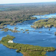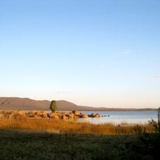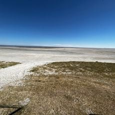
Makgadikgadi Pans, Salt pans and basin in northern Botswana.
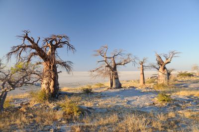
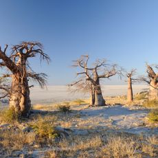
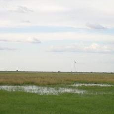
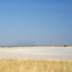
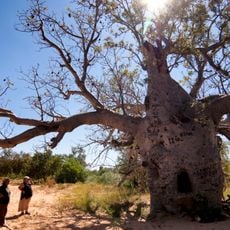
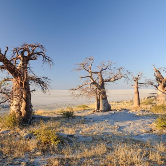
Makgadikgadi Pans is not one pan but many, the largest being Sua, Ntwetwe and Nxai, separated by sandy desert. The pans cover 16,000 km² of the Kalahari Basin, with Sua Pan the lowest at 890 m. For most of the year a dry clay crust, they are seasonally covered with water and grass. Kubu Island, an igneous rock outcrop in Sua Pan, holds baobab trees and is a national monument.
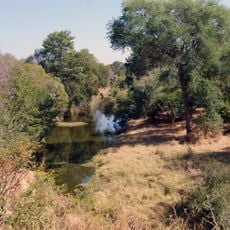
Lake Makgadikgadi once covered roughly 60,000 km² and reached depths of up to 30 metres. Lacking an outlet, it concentrated salt, and around 4,000 years ago climatic change and earth movements dried it out, leaving salt crusts up to five metres deep in its lowest parts. Relic shorelines at 940 m and 920 m remain visible on Gidikwe Ridge west of the Boteti River.
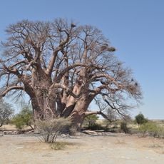
Kubu Island, in the southwestern part of Sua Pan, is an igneous rock rise covered with baobab trees and protected as a national monument. Remains of earlier settlement have been found there. Elsewhere on the pans, a baobab named after James Chapman served 19th-century explorers as an unofficial post office.
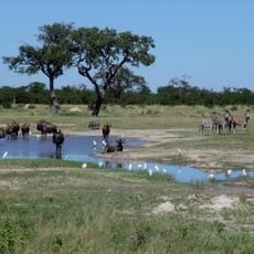
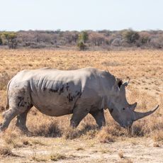
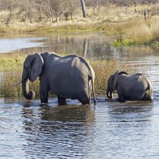
The best time to visit is between January and March, when seasonal rains turn the dry flats into wetlands and attract wildlife. Conditions are most favorable for watching animals and photography during these months.
Sua Pan serves as one of only two main breeding grounds for flamingos in southern Africa, drawing massive flocks during favorable conditions. This seasonal gathering makes the pans a rare natural spectacle.
The community of curious travelers
AroundUs brings together thousands of curated places, local tips, and hidden gems, enriched daily by 94,079 contributors worldwide.