
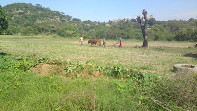
Buhera District, human settlement in Zimbabwe
Location: Manicaland
Elevation above the sea: 919 m
GPS coordinates: -19.34139,31.58472
Latest update: March 4, 2025 17:38
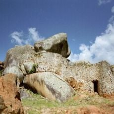
Great Zimbabwe
123.9 km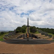
National Heroes Acre
179.1 km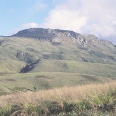
Mount Nyangani
175.9 km
Monte Binga
162.4 km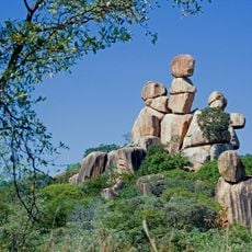
Balancing Rocks
168.8 km
Gonarezhou National Park
259 km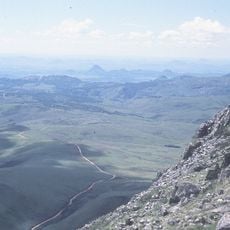
Nyanga National Park
175.4 km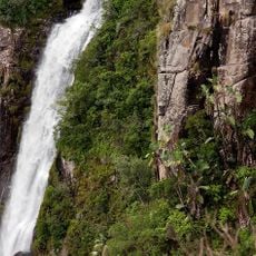
Mutarazi Falls
159 km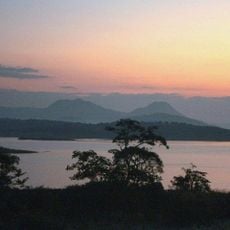
Lake Mutirikwe
116.4 km
National Gallery of Zimbabwe
178 km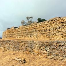
Naletale
223.6 km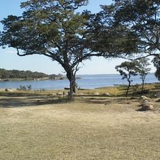
Lake Chivero
181 km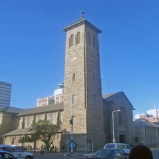
Cathedral of St Mary and All Saints, Harare
177.6 km
Lake Chivero Recreational Park
180 km
Zimbabwe Museum of Human Sciences
177.6 km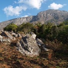
Chimanimani National Reserve
165.7 km
National Botanic Garden
180.4 km
First Floor Gallery Harare
177.8 km
Chimanimani National Park
143.6 km
Angwa Sandstone Formation
64.9 km
Moribane Forest
186.7 km
Antelope Game Park
197.4 km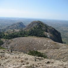
Mount Zembe
184.8 km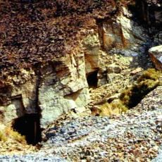
Mutoroshanga Ethel Mine
269.8 km
Cinema Montalto
200.5 km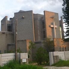
Holy Trinity Cathedral, Mutare
121.4 km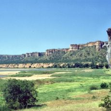
Chilojo Cliffs
240.3 km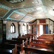
St Francis Italian Church
110.6 kmReviews
Visited this place? Tap the stars to rate it and share your experience / photos with the community! Try now! You can cancel it anytime.
Discover hidden gems everywhere you go!
From secret cafés to breathtaking viewpoints, skip the crowded tourist spots and find places that match your style. Our app makes it easy with voice search, smart filtering, route optimization, and insider tips from travelers worldwide. Download now for the complete mobile experience.

A unique approach to discovering new places❞
— Le Figaro
All the places worth exploring❞
— France Info
A tailor-made excursion in just a few clicks❞
— 20 Minutes