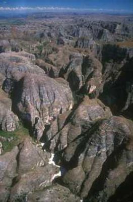
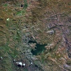
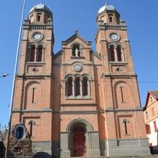
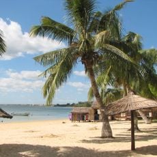
Makay Massif, Mountain range in Toliara Province, Madagascar.
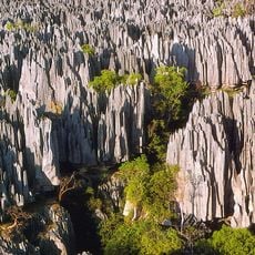
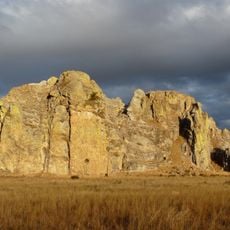
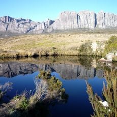
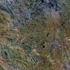
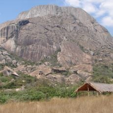
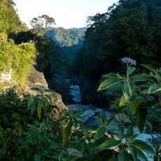
Makay Massif is a mountain range in western Madagascar that stretches approximately 150 kilometers with peaks around 1000 meters high. Its landscape is shaped by deep canyons and sandstone rock formations that create a dramatic, rugged topography.
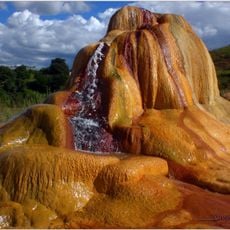
The massif formed during the Triassic period, with fossils preserved in the Isalo II mudstones and sandstones of the Makay Formation. These rock layers preserve evidence of ancient environments that existed long before modern Madagascar took its current shape.
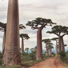
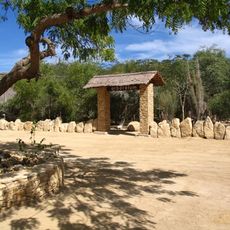
The communities around the massif practice cattle herding, which shapes daily life and local traditions in the region. This way of living has remained central to how people use the land and interact with the surrounding environment.
The location is remote and requires a 4x4 vehicle to reach, so visitors should arrange transportation in advance and prepare for variable conditions. The best time to explore spans from May to October when weather conditions are most favorable for trekking.
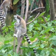
The isolated canyons create separate habitats for lemur species like red-fronted lemurs, Verreaux's sifakas, and ring-tailed lemurs. These enclosed environments have become refuges for wildlife that survives nowhere else in quite the same way.
The community of curious travelers
AroundUs brings together thousands of curated places, local tips, and hidden gems, enriched daily by 60,000 contributors worldwide.