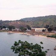
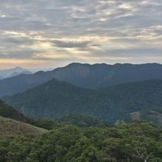
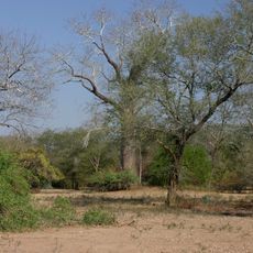
Zomba Massif, Mountain plateau in Zomba District, Malawi.
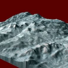
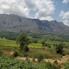
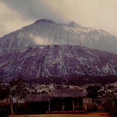
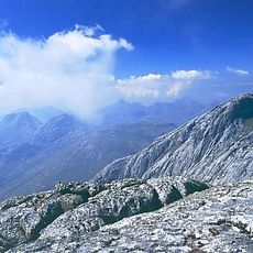
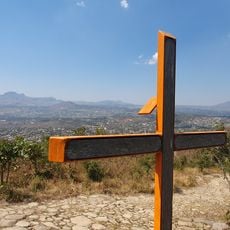
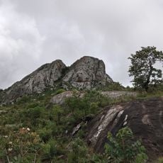
Zomba Massif is a roughly pear-shaped mountain plateau in the Shire Highlands of southern Malawi, about 20 km long north to south and 12 km wide east to west. Its southern part is called Zomba Mountain and its northern part Malosa, separated by the deeply cut Domasi Valley. The plateau covers about 130 square kilometres and reaches 2,087 metres at its highest point.
The Zomba and Malosa forest reserves were established in 1913, and pines were planted from the 1940s and especially the 1960s for timber and firewood. The area was the epicentre of the 1915 uprising against the thangata system of forced labour on colonial plantations. The plateau has been a tourist site since the late 1960s.
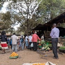
The plateau's name comes from the Yao word for the mountain, and the area was the centre of the 1915 uprising against the thangata forced-labour system on colonial plantations. Today, smallholders and cooperatives farm tea, coffee and tobacco on the lower slopes, while strawberries, yellow-berries and blackberries from the mountain are sold locally.
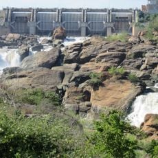
A paved all-weather road climbs from Zomba to the plateau, where the Sunbird KuChawe Inn and several camping grounds provide bases. Trails radiate from the road and from the Mulunguzi Dam area; the dry season gives firmer footing. The plateau's western edge looks over the Shire River and Liwonde National Park.
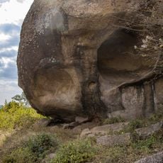
The rock is granitic syenite, intruded into older metamorphic rock between 150 and 65 million years ago, the same composition and origin as the Mulanje Massif to the southeast. Quartz and other precious and semi-precious stones occur here. The plateau is also part of a proposed ecoregion called the South East Africa Montane Archipelago (SEAMA).
The community of curious travelers
AroundUs brings together thousands of curated places, local tips, and hidden gems, enriched daily by 94,464 contributors worldwide.