
Warakurna, Indigenous Australian community in Western Australia
Location: Shire Of Ngaanyatjarraku
GPS coordinates: -25.00063,128.28656
Latest update: March 9, 2025 20:03
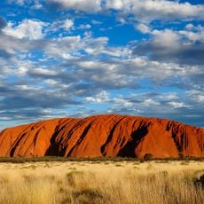
Uluru
279.3 km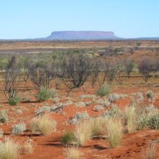
Outback
172.9 km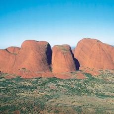
Kata Tjuta
248.8 km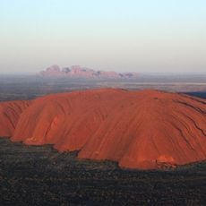
Uluṟu-Kata Tjuṯa National Park
274.3 km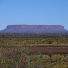
Mount Conner
367.7 km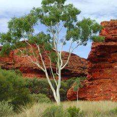
Kings Canyon
341.7 km
Mount Zeil
453.5 km
Mount Woodroffe
376.7 km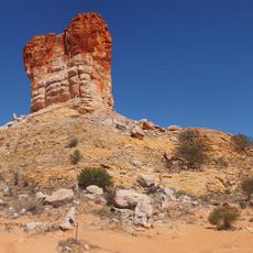
Chambers Pillar
559.2 km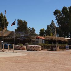
Curtin Springs
350.6 km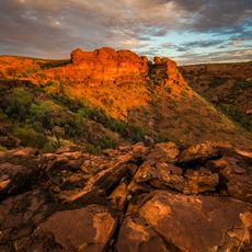
Watarrka National Park
348.6 km
Surveyor Generals Corner
132.3 km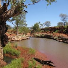
Angas Downs Indigenous Protected Area
401.5 km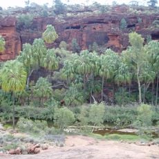
Finke Gorge National Park
466.8 km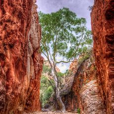
Standley Chasm
544.5 km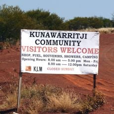
Kunawarritji
469.2 km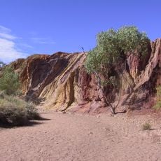
Ochre Pits
485.5 km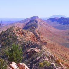
Tjoritja / West MacDonnell National Park
484.1 km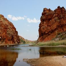
Glen Helen Gorge
468.6 km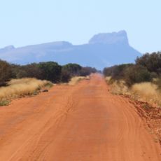
Mount Liebig
366.1 km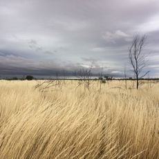
Gibson Desert Nature Reserve
281.3 km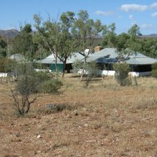
Hamilton Downs Station
549.6 km
Serpentine Gorge
496.1 km
Ilkulka Community
383.8 km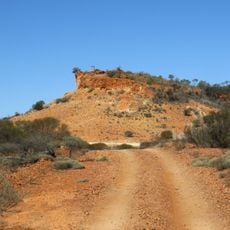
Mount Beadell
308.8 km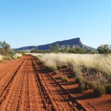
Mount Leisler
215.6 km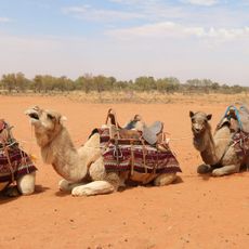
Camels Australia
528.1 km
Lasseter's Cave
111.9 kmReviews
Visited this place? Tap the stars to rate it and share your experience / photos with the community! Try now! You can cancel it anytime.
Discover hidden gems everywhere you go!
From secret cafés to breathtaking viewpoints, skip the crowded tourist spots and find places that match your style. Our app makes it easy with voice search, smart filtering, route optimization, and insider tips from travelers worldwide. Download now for the complete mobile experience.

A unique approach to discovering new places❞
— Le Figaro
All the places worth exploring❞
— France Info
A tailor-made excursion in just a few clicks❞
— 20 Minutes