Pal Merah, Administrative district in West Jakarta, Indonesia.
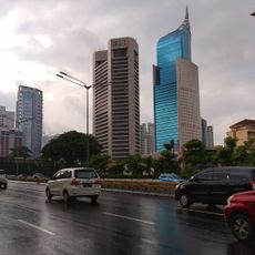
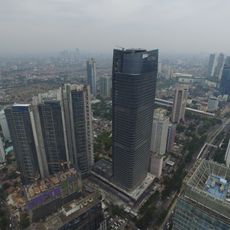
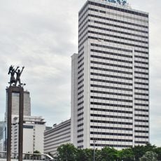
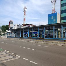
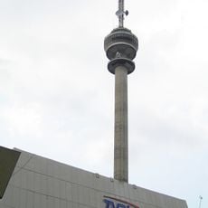
Pal Merah is an administrative district in West Jakarta that encompasses six administrative villages including Slipi, Jatipulo, and Kemanggisan. The area is crossed by major roads such as Gatot Subroto Street and Letjen S Parman Street, which connect it to Jakarta's inner road network.
The district was formally established in 2022 through a ministerial decree as a separate administrative entity within Jakarta. This reorganization was part of a broader administrative reform within the city.
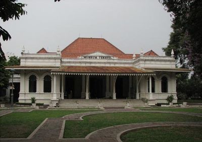
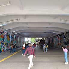
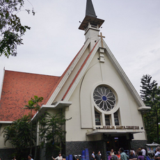
Traditional markets and local food stalls scattered throughout the district show how residents from different parts of Indonesia share daily life and maintain their customs. These gathering places reflect how communities here blend their distinct traditions into a shared neighborhood rhythm.
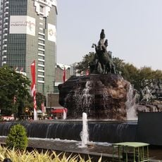
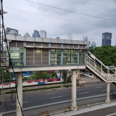
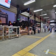
The area is well connected through multiple major streets that link it to the rest of Jakarta and make navigation straightforward. Visitors should expect local traffic patterns, as the district can be quite busy during peak hours.
The district is defined by natural and infrastructural boundaries, with the Jakarta-Merak Tollway marking its northern edge and the Western Flood Canal its eastern side. These boundaries give the area a distinct spatial character within the city.
The community of curious travelers
AroundUs brings together thousands of curated places, local tips, and hidden gems, enriched daily by 60,000 contributors worldwide.