
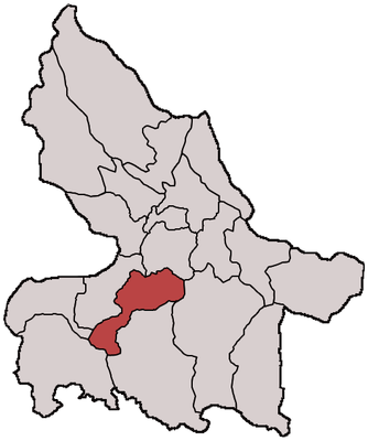
Campurdarat, district in Tulungagung Regency, East Java Province, Indonesia
Location: Tulungagung
Elevation above the sea: 97 m
GPS coordinates: -8.16278,111.86278
Latest update: March 8, 2025 09:13
Kelut
54.8 km
Penataran
41.5 km
Museum Angkut
79 km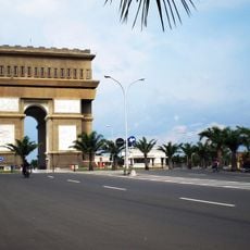
Simpang Lima Gumul Monument
44.4 km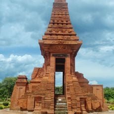
Trowulan
88 km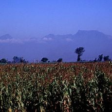
Mount Wilis
39.8 km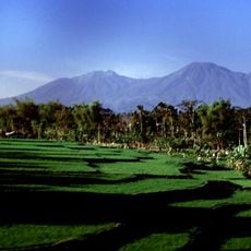
Mount Kawi
70.1 km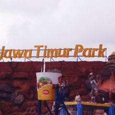
Jawa Timur Park
79.3 km
Batu Secret Zoo
79.3 km
Jawa Timur Park 3
81.7 km
Mount Butak
70.3 km
Trowulan Museum
88.1 km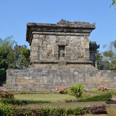
Badut
84.2 km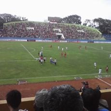
Gajayana Stadium
86.6 km
Surawana
60.7 km
Museum Satwa
79.5 km
Museum Musik Indonesia
86.4 km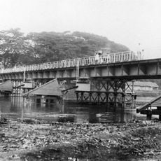
Kediri Old Bridge
42 km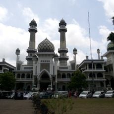
Great Mosque of Malang
86.9 km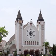
Cathedral of Our Lady of Mount Carmel, Malang
86.6 km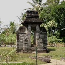
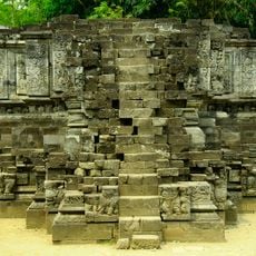
Candi Plumbangan
53.5 km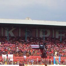
Gelora Supriyadi Stadium
34.6 km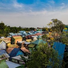
Colorful Village Jodipan
87.7 km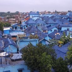
Kampung Biru Arema (Blue Village)
87.7 km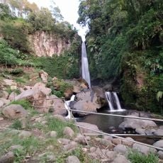
Coban Talun Waterfall
82.4 km
Kawi-Butak
70.1 km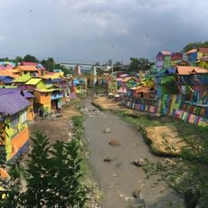
Kampung Tridi
87.8 kmReviews
Visited this place? Tap the stars to rate it and share your experience / photos with the community! Try now! You can cancel it anytime.
Discover hidden gems everywhere you go!
From secret cafés to breathtaking viewpoints, skip the crowded tourist spots and find places that match your style. Our app makes it easy with voice search, smart filtering, route optimization, and insider tips from travelers worldwide. Download now for the complete mobile experience.

A unique approach to discovering new places❞
— Le Figaro
All the places worth exploring❞
— France Info
A tailor-made excursion in just a few clicks❞
— 20 Minutes