
Pesisir, village in Sumberasih District, Probolinggo Regency, East Java, Indonesia
Location: Sumberasih
Elevation above the sea: 8 m
GPS coordinates: -7.74611,113.17250
Latest update: May 12, 2025 13:32
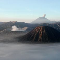
Mount Bromo
32.6 km
Semeru
48.8 km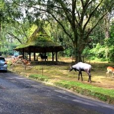
Taman Safari Indonesia
55.7 km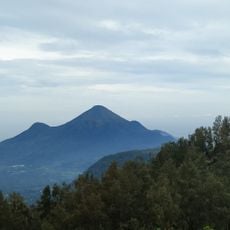
Mount Penanggungan
62.6 km
Bromo Tengger Semeru National Park
38.9 km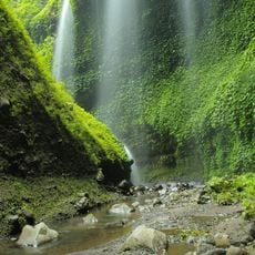
Madakaripura Waterfall
20.3 km
Kidal temple
59.8 km
Candi Jago
53.5 km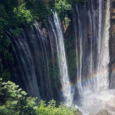
Tumpak Sewu Waterfalls
60.8 km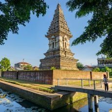
Jawi temple
56.2 km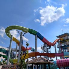
Hawaii Waterpark
60.1 km
Mpu Tantular Museum
60.8 km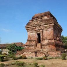
Pari Temple
59.8 km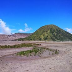
Mount Batok
32.5 km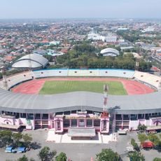
Gelora Delta Stadium
61.3 km
Mount Lamongan
32 km
Candi Belahan
59.5 km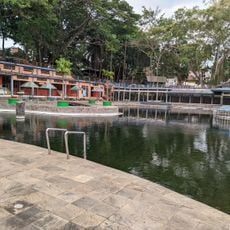
Taman Wisata Wendit
59.7 km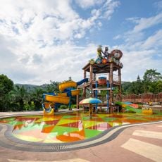
BeSS
49.9 km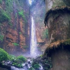
Kapas Biru Waterfall
58.7 km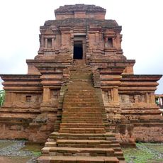
Gunung Gangsir
51.6 km
Wendit
60.2 km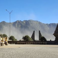
Luhur Poten Temple Of Mount Bromo
31.8 km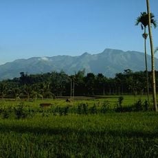
Iyang-Argapura
49.8 km
Bangkal temple
63.4 km
Malang Plain
62.3 km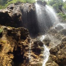
Tetes Cave
61 km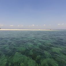
Pantai Giliketapang
10.9 kmReviews
Visited this place? Tap the stars to rate it and share your experience / photos with the community! Try now! You can cancel it anytime.
Discover hidden gems everywhere you go!
From secret cafés to breathtaking viewpoints, skip the crowded tourist spots and find places that match your style. Our app makes it easy with voice search, smart filtering, route optimization, and insider tips from travelers worldwide. Download now for the complete mobile experience.

A unique approach to discovering new places❞
— Le Figaro
All the places worth exploring❞
— France Info
A tailor-made excursion in just a few clicks❞
— 20 Minutes