
Arjasa, village in Situbondo Regency, East Java, Indonesia
Location: Arjasa
Elevation above the sea: 15 m
GPS coordinates: -7.72472,114.12278
Latest update: March 7, 2025 01:23
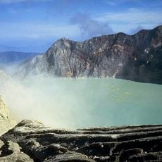
Ijen
39.4 km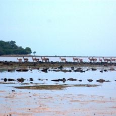
Baluran National Park
29.5 km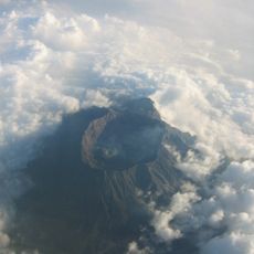
Gunung Raung
44.6 km
Alas Purwo National Park
113.2 km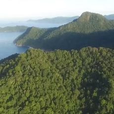
Meru Betiri National Park
85.7 km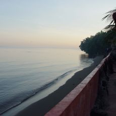
Lovina Beach
110.8 km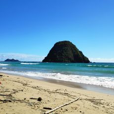
Pantai Pancer
97.9 km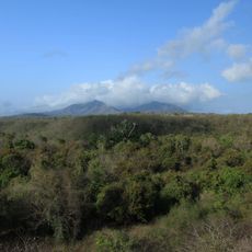
West Bali National Park
63 km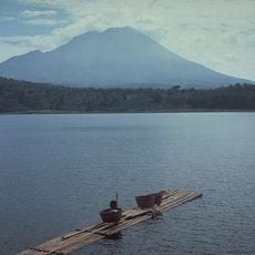
Mount Lamongan
90.6 km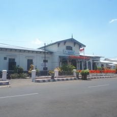
Bondowoso Rail and Train Museum
38.8 km
Great Mosque of Sumenep
84.9 km
Gelora Ratu Pamelingan Stadium
92.2 km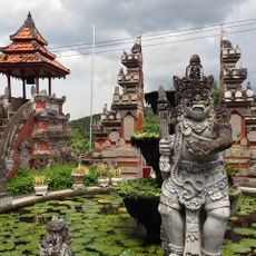
Brahmavihara-Arama
108.3 km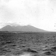
Baluran
30.8 km
Gedong Kirtya
116.2 km
Pura Beji Sangsit
118.5 km
Caldeira de Kendeng
32.9 km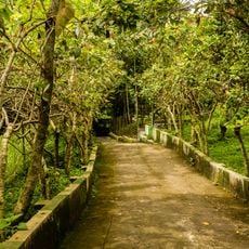
Sukorambi Botanical Garden
70.3 km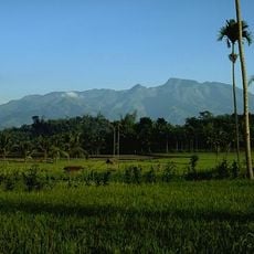
Iyang-Argapura
66.9 km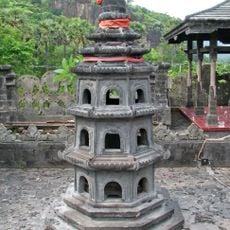
Pura Pulaki
77.3 km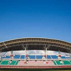
Jember Sport Garden Stadium
74.1 km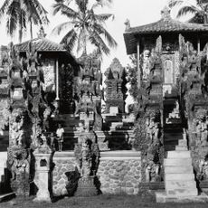
Pura Dalem Segara Madhu
122.1 km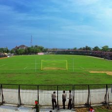
Ahmad Yani Stadium
117 km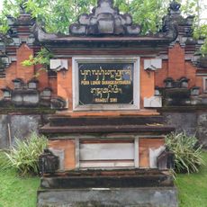
Rambut Siwi
103.6 km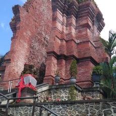
Mandhara Giri Semeru Grand Temple
121.1 km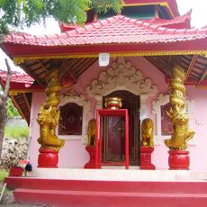
Pura Taman Kelenting Sari
60.8 km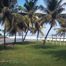
Yeh Leh Beach
120.2 km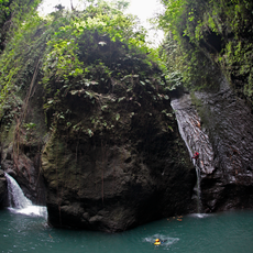
Sambangan Secret Garden
119.6 kmReviews
Visited this place? Tap the stars to rate it and share your experience / photos with the community! Try now! You can cancel it anytime.
Discover hidden gems everywhere you go!
From secret cafés to breathtaking viewpoints, skip the crowded tourist spots and find places that match your style. Our app makes it easy with voice search, smart filtering, route optimization, and insider tips from travelers worldwide. Download now for the complete mobile experience.

A unique approach to discovering new places❞
— Le Figaro
All the places worth exploring❞
— France Info
A tailor-made excursion in just a few clicks❞
— 20 Minutes