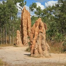
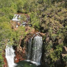
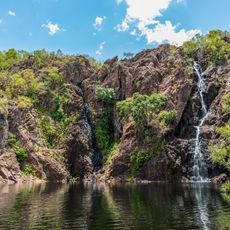
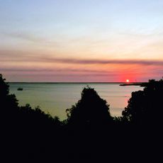
Anson Bay, Daly and Reynolds River Floodplains, Floodplain system in Northern Territory, Australia
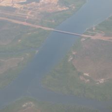
Anson Bay and the Daly and Reynolds River floodplains cover vast areas along the western coast of Northern Territory, southwest of Darwin. These wetlands are shaped by tidal movements that regularly flood large sections, creating shallow waterways and swampy vegetation across the landscape.
Copper discoveries near the Daly River in the late 1800s triggered mining activity that created tensions between European settlers and Aboriginal communities. This period marked a turning point in how the land was used and controlled.
The Wadjigiynk, Malak Malak, and Jawoyn maintain strong ties to these river systems and work with water resources in time-honored ways. This connection shapes how people move through and use the land today.
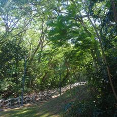
Access to these floodplains changes with seasonal water levels, limiting entry to certain areas at different times of year. Before visiting, check current water conditions and weather patterns to plan safe routes through the terrain.
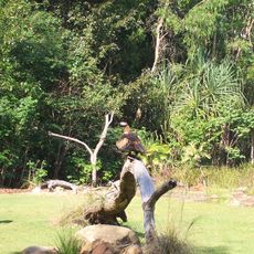
The area supports remarkable concentrations of wading and waterbirds, with magpie geese and whistling ducks nesting here in large numbers. These bird populations make it a significant breeding ground for wetland species across the region.
The community of curious travelers
AroundUs brings together thousands of curated places, local tips, and hidden gems, enriched daily by 60,000 contributors worldwide.