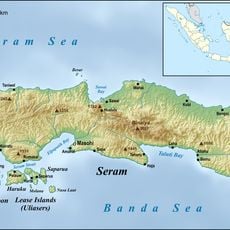
Yapen Islands Regency, Island regency in Papua, Indonesia
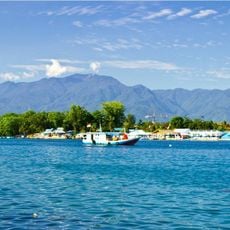
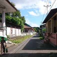
Yapen Islands Regency is an administrative region spanning multiple islands in a large bay, encompassing both flat coastal areas and higher interior zones. The territory is divided into several districts and villages that are connected across waterways.
The region was first documented by a European navigator in 1528 during a voyage through the area, marking the beginning of written accounts in European records. This early contact established the earliest known descriptions of the islands in historical sources.
Several distinct groups inhabit the islands, each speaking their own languages and following local traditions that shape daily life. The communities maintain customs tied to the ocean and coastal ways of living that have developed over generations.
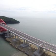
Getting around between the islands relies on local boats and water transport as the main way to travel. It helps to plan for water-based travel and remain flexible with arrival times.
A major natural disaster struck the region in 1979, causing significant destruction and loss of life across the islands. This event left a lasting mark on the local communities and remains part of their collective memory.
The community of curious travelers
AroundUs brings together thousands of curated places, local tips, and hidden gems, enriched daily by 60,000 contributors worldwide.