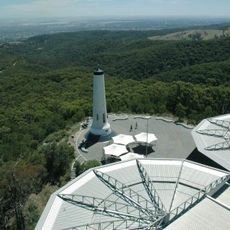
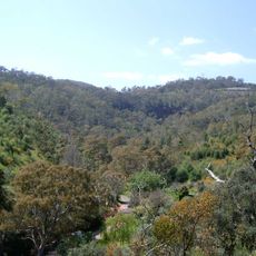
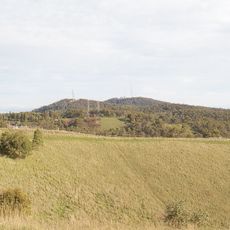
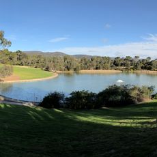
Adelaide Hills, local government area in South Australia
Location: South Australia
Inception: July 1, 1997
Capital city: Woodside
Elevation above the sea: 472 m
GPS coordinates: -34.95000,138.88333
Latest update: March 6, 2025 00:46
Mount Lofty
16.1 km
Big Rocking Horse
14.4 km
SteamRanger Heritage Railway
13 km
National Motor Museum
15.9 km
Mount Bold Reservoir
25.2 km
Mount Lofty Botanic Garden
16.1 km
Burnside Village
22 km
Beaumont House
20.3 km
Adelaide Australia Temple
23.6 km
South Para Reservoir
28.2 km
Gorge Wildlife Park
13.6 km
Warrawong Sanctuary
16.5 km
Kangaroo Creek Reservoir
14.1 km
Mount Barker
13.2 km
Millbrook Reservoir
15.1 km
Warren Reservoir
27.8 km
National Motor Museum
15.9 km
Norwood Town Hall
22.8 km
The Heights Observatory
23.9 km
Little Para Reservoir
27.1 km
Thorndon Park Reserve
19.7 km
Chambers Gully
17.6 km
Attunga
22.5 km
Mount Bonython
15.6 km
Lobethal Archives and Historical Museum
5.2 km
Burnside library
21.9 km
Civic Park
22.2 km
Thorndon Park Reservoir
19.8 kmReviews
Visited this place? Tap the stars to rate it and share your experience / photos with the community! Try now! You can cancel it anytime.
Discover hidden gems everywhere you go!
From secret cafés to breathtaking viewpoints, skip the crowded tourist spots and find places that match your style. Our app makes it easy with voice search, smart filtering, route optimization, and insider tips from travelers worldwide. Download now for the complete mobile experience.
A unique approach to discovering new places❞
— Le Figaro
All the places worth exploring❞
— France Info
A tailor-made excursion in just a few clicks❞
— 20 Minutes