Mount Barker, Mountain peak in Adelaide Hills, Australia
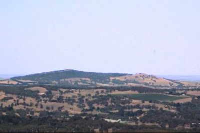
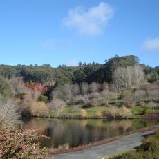
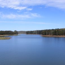
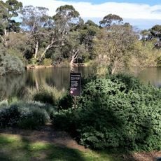
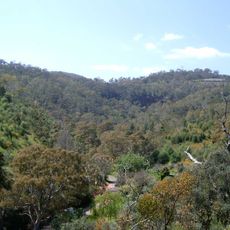
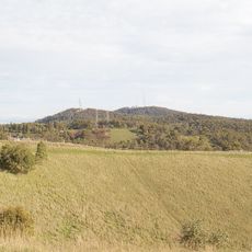
Mount Barker is a summit in the Adelaide Hills that reaches 513 meters above sea level, with sweeping views across Mount Lofty, the nearby township, Lakes, Coorong, and Bremer Valley. The summit reserve features a maintained walking track and interpretive signs describing the geological features found in this elevated area.
The mountain was first spotted in 1830 by Captain Charles Sturt and later named after Captain Collet Barker, who surveyed the region in 1831. These early explorations marked the beginning of European documentation of the Adelaide Hills.
The summit holds deep significance for the Peramangk and Njarrindjerri peoples, whose traditional connections to this elevated place shaped how the land is understood today. Visitors can sense this cultural layer when walking through the reserve.
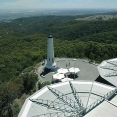
The summit is accessible via a short walking loop from the car park that takes less than half an hour to complete. The area is open and exposed, so it offers the best views when conditions are clear and the weather is fair.
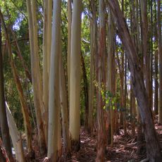
A discovery made at this location transformed Australian farming in unexpected ways. Subterranean clover found here proved the key to converting previously barren land into productive grazing areas across the continent.
The community of curious travelers
AroundUs brings together thousands of curated places, local tips, and hidden gems, enriched daily by 60,000 contributors worldwide.