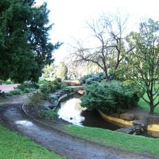
Adelaide Park Lands, Public parkland in Adelaide, Australia
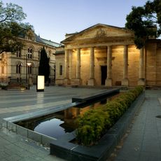
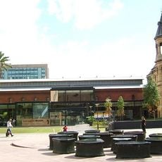
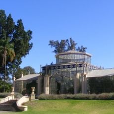
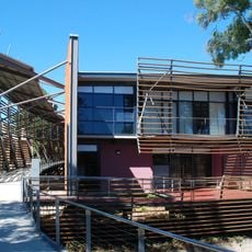
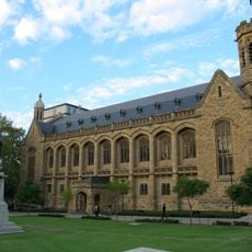
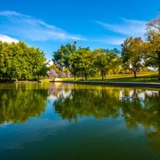
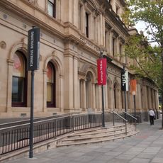
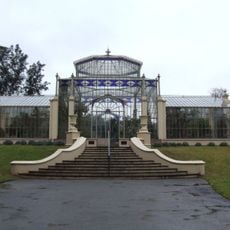
Adelaide Park Lands is a connected green belt spanning roughly 930 hectares that surrounds the city center and creates clear separation between Adelaide and its suburbs. The land features walking trails, cycling paths, sports facilities, and picnic areas accessible from many different entry points.
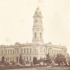
Colonel William Light designed these park lands in 1837 as part of Adelaide's original city plan, creating a lasting framework for public recreation. This early vision established spaces meant to serve the community for generations to come.
The park lands host festivals, markets, and community events throughout the year, shaping how people in Adelaide spend their free time outdoors. These gatherings reflect the role these spaces play in bringing residents together for celebration and socializing.
Multiple entry points make it easy to access different sections of the parklands for walking, cycling, or sports activities. Plan to explore gradually rather than trying to see everything at once, since the grounds are quite large.
These park lands were among the world's first planned green belts around a city center, arranged in a figure-eight pattern. The design shows an early vision of how nature and urban areas could work together.
The community of curious travelers
AroundUs brings together thousands of curated places, local tips, and hidden gems, enriched daily by 60,000 contributors worldwide.