Enable Location

We need your location to show you interesting places around you

Discover nearby places

Find interesting locations and hidden gems around you

Precise directions

Get accurate directions and distances to places

Your location is never shared with other users. It's only used when you tap the location button.

Wingecarribee Shire

Log in to your account

Start exploring — it's free

Trusted by 62,960 travelers worldwide

Continue with Google
Continue with Apple
or

We will send you a code to connect

By continuing, you accept our Terms and Conditions and our Privacy Policy

Check your inbox

We've sent a pincode in your inbox. Please enter the code below.

Discussion Reviews 1 Photos
12.4k Popularity

Wingecarribee Shire, Local government area in New South Wales, Australia

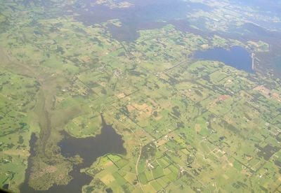
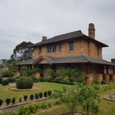
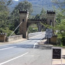
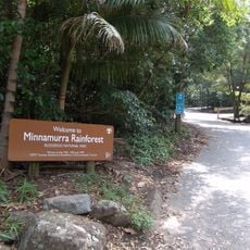
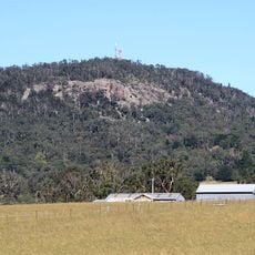
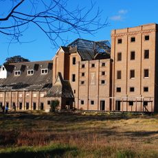
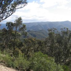
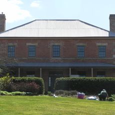
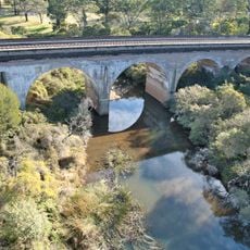
Wingecarribee Shire is an administrative region in the Southern Highlands of New South Wales, spanning rural farmlands and semi-urban settlements across varied terrain. The area brings together agricultural land with small towns and residential areas scattered throughout.

The region was formed in 1981 through a merger of three former councils into a single administrative structure. This consolidation shaped how the area is governed today.

The name comes from the Dharawal language and means 'a flight of birds', reflecting the Indigenous heritage of the area. This connection to the land remains part of how people understand the region today.

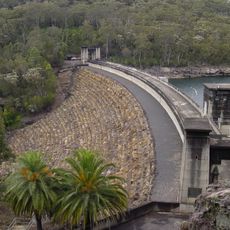
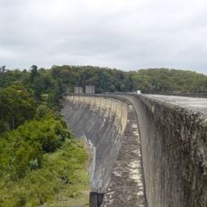
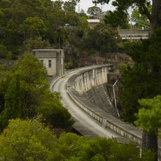
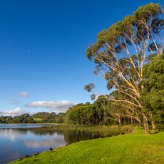
The region serves as a water catchment area, supplying drinking water to major cities including Sydney and Wollongong. Visitors should know the area is fairly large and exploring it takes time and planning.

In 2012, the council won a major legal case against a large financial institution and recovered substantial compensation. This unusual achievement shows how local government sometimes pursues significant financial recovery for the region.

The community of curious travelers

AroundUs brings together thousands of curated places, local tips, and hidden gems, enriched daily by 60,000 contributors worldwide.

Start exploring
Location
Capital city
Moss Vale
Elevation above the sea
704 m
Phone
GPS coordinates
-34.46667,150.41667
Latest update
December 7, 2025 20:45
Reviews
Share your experience

No review yet

Discussions
Start a discussion...

No discussion yet

« Wingecarribee Shire - Local government area in New South Wales, Australia » is provided by Around Us (aroundus.com). Images and texts are derived from Wikimedia project under a Creative Commons license. You are allowed to copy, distribute, and modify copies of this page, under the conditions set by the license, as long as this note is clearly visible.

Discover hidden gems everywhere you go!

From secret cafés to breathtaking viewpoints, skip the crowded tourist spots and find places that match your style. Our app makes it easy with voice search, smart filtering, route optimization, and insider tips from travelers worldwide. Download now for the complete mobile experience.

Around Us App Screenshot

A unique approach to discovering new places

Le Figaro

All the places worth exploring

France Info

A tailor-made excursion in just a few clicks

20 Minutes

Around Us
Travel Guide & Maps
Download

Send to your phone

QR Code
1

Open the camera app on your mobile.

2

Point at the QR code with your camera. A notification will appear.

3

Tap the notification to open the link.