Queensland and New South Wales boundary encroachments, Territorial border dispute in Queensland, Australia
Queensland and New South Wales boundary encroachments are land parcels scattered along the border that extend beyond the official 29 degrees south parallel line. These properties exist because early surveyors made mistakes when marking the boundary, creating ongoing complications for landowners.
Surveying mistakes occurred between 1863 and 1865 when early mapmakers failed to precisely mark the boundary. The errors were discovered later, but landowners kept their original properties instead of adjusting them to the official line.
Communities near the disputed areas developed different state identities based on their proximity to state capitals and administrative governance.
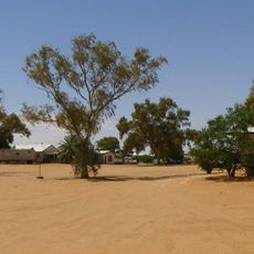
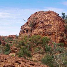
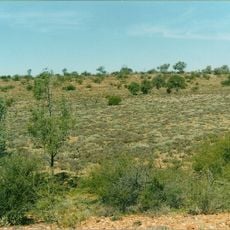
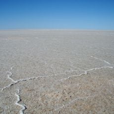
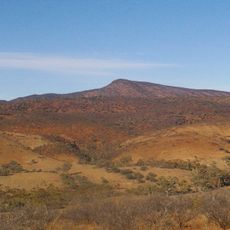
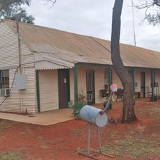
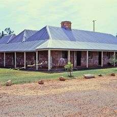
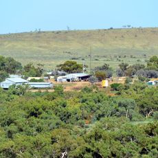
The affected land parcels are mostly in remote areas and hard to spot without detailed maps. Visiting requires preparation and local knowledge to locate the boundary irregularities.
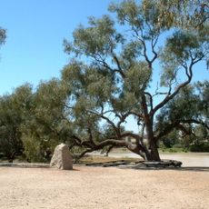
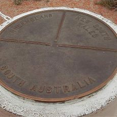
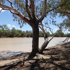
The most notable example appears near Cameron Corner, where an 1880 surveying marker points to the historical errors. This spot demonstrates how land boundaries and past mistakes remain visible in the landscape today.
The community of curious travelers
AroundUs brings together thousands of curated places, local tips, and hidden gems, enriched daily by 60,000 contributors worldwide.