
Mount Werong State Forest
Location: New South Wales
Elevation above the sea: 1,129 m
GPS coordinates: -34.07371,149.85626
Latest update: April 17, 2025 10:25
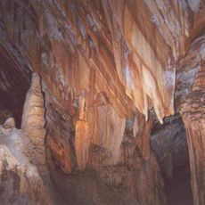
Jenolan Caves
32 km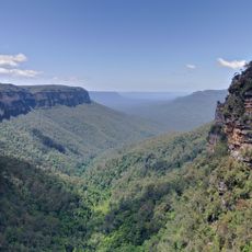
Greater Blue Mountains Area
56.7 km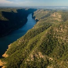
Lake Burragorang
53.9 km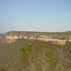
Kanangra-Boyd National Park
30.3 km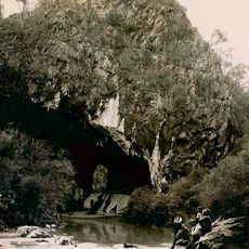
Abercrombie Caves
49.9 km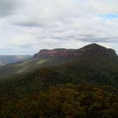
Mount Solitary
53 km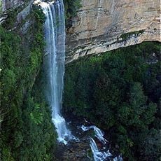
Katoomba Falls
56.5 km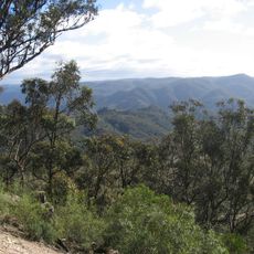
Nattai National Park
52.2 km
Jenolan Caves House
32.1 km
Ruined Castle
53.2 km
Oberon Tarana Heritage Railway
41.6 km
Oberon Dam
39.8 km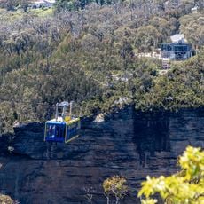
Scenic Skyway
56.6 km
Mountain View Homestead and General Store
48.8 km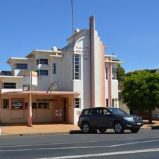
Malachi Gilmore Memorial Hall
41.1 km
Catholic Church of Christ the King
37.1 km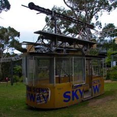
Orphan Rocker
56.2 km
Mares Forest National Park
25.5 km
Tralaga Wildlife park
37.5 km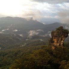
Orphan Rock
56.2 km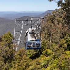
Scenic Cableway
56.2 km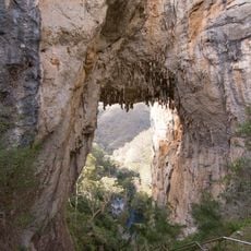
Carlotta Arch
32.3 km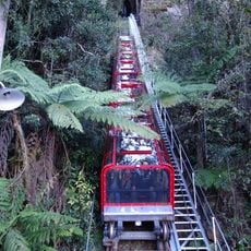
Katoomba Scenic Railway
56.2 km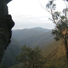
Mount Cloudmaker
33.2 km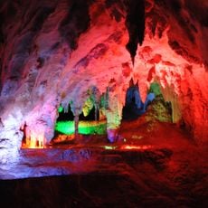
Chifley Cave
32.3 km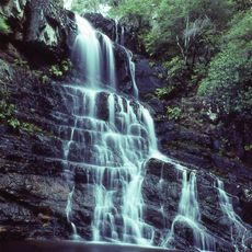
Kalang Falls
25.3 km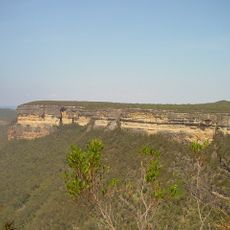
Kanangra Walls
26.5 km
Jenolan Karst Conservation Reserve
32 kmReviews
Visited this place? Tap the stars to rate it and share your experience / photos with the community! Try now! You can cancel it anytime.
Discover hidden gems everywhere you go!
From secret cafés to breathtaking viewpoints, skip the crowded tourist spots and find places that match your style. Our app makes it easy with voice search, smart filtering, route optimization, and insider tips from travelers worldwide. Download now for the complete mobile experience.

A unique approach to discovering new places❞
— Le Figaro
All the places worth exploring❞
— France Info
A tailor-made excursion in just a few clicks❞
— 20 Minutes