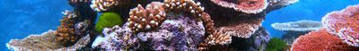
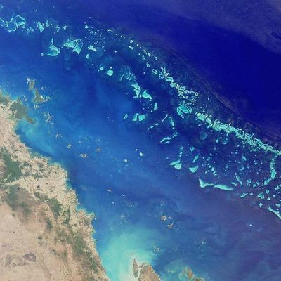
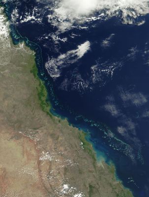
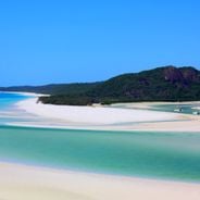
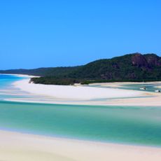
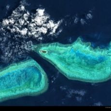
Great Barrier Reef, Coral reef system off Queensland, Australia.
The Great Barrier Reef is a marine formation stretching along the Queensland coastline, composed of thousands of individual coral structures and islands that create a network of shallow lagoons and deeper channels. The system includes patch reefs, ribbon reefs, and crescentic formations, each shaped by wave patterns, tidal flows, and the underlying continental shelf topography.
Coral colonies began forming after the last ice age when rising seas covered the continental shelf, creating suitable conditions for reef growth. European awareness grew after Captain Cook ran aground here in 1770, leading to centuries of maritime navigation charts and scientific expeditions documenting the scale of the system.
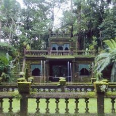
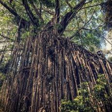
Aboriginal and Torres Strait Islander peoples maintain deep connections to the reef through traditional fishing practices, navigation paths, and creation stories that view the marine environment as a living ancestor. Coastal towns rely on reef-based tourism as the main source of employment, with many families passing down their knowledge of safe diving spots and seasonal marine life patterns from one generation to the next.
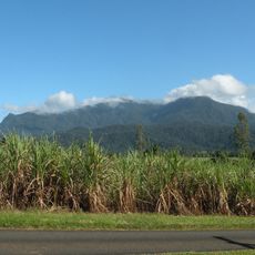
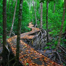
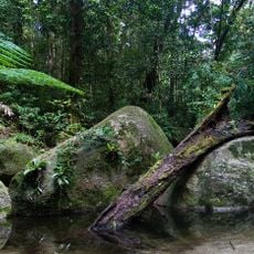
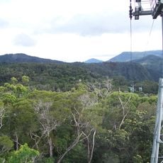
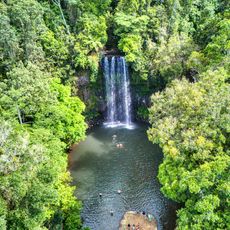
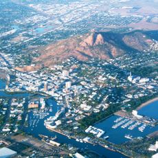
Travelers reach the reef from coastal towns such as Cairns, Port Douglas, or Townsville, where operators offer day trips, overnight sailing, and diving expeditions suited to different skill levels. The dry season from June through October brings clearer water and calmer conditions, making it easier to observe marine life close to the surface without strong currents.
Certain coral species here glow in shades of green, blue, and orange under natural moonlight during mass spawning events, which occur on only a few nights each year following full moons in late spring. Researchers have also found sections where coral colonies communicate chemical signals to neighboring polyps, coordinating defensive responses to environmental stress without any central nervous system.
The community of curious travelers
AroundUs brings together thousands of curated places, local tips, and hidden gems, enriched daily by 60,000 contributors worldwide.