Ma'alpiku Island National Park
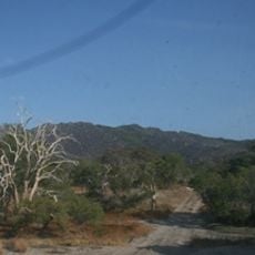
Ma'alpiku Island National Park, Nature reserve in Cape York Peninsula, Australia
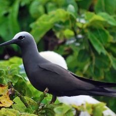
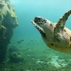
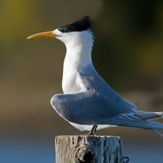
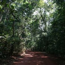
Ma'alpiku Island National Park is a coastal nature reserve on Cape York Peninsula with beaches, rocky outcrops, and marine areas. The different habitats span across a large area and provide space for various animal and plant species.
The protected area was created in 1999 as a result of laws that recognized the land rights of Aboriginal people. This decision linked the protection of nature with recognition of the claims of the local indigenous population.
The Kuuku Ya'u people have a deep connection to this island and help manage the park together with government authorities. Their knowledge of the land shapes how this place is cared for and used today.
Visitors must arrive by private boat and bring sufficient supplies due to limited infrastructure. It is important to plan thoroughly and check weather conditions before visiting this remote location.
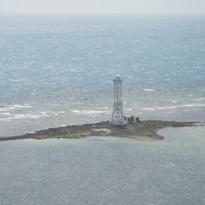
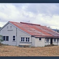
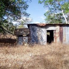
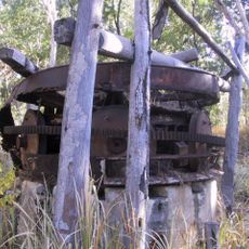
A former businessman lives on the island in a renovated building from World War II. He uses solar power and is self-sufficient, making the island an unusual residence.
Location: Iron Range
Location: Cook Shire
Inception: June 11, 1999
Operator: Queensland Department of Environment and Science
GPS coordinates: -12.61924,143.45418
Latest update: December 9, 2025 18:41
Cape Melville National Park (Cape York Peninsula Aboriginal Land)
226 km
Kutini-Payamu National Park
17.8 km
Apudthama National Park
166.9 km
Oyala Thumotang National Park
128.3 km
Lama Lama National Park
198.7 km
Claremont Isles National Park
150.2 km
Piper Islands National Park
48.5 km
Wenlock Goldfield
76.2 km
Raine Island Beacon
130.8 km
Wuthathi (Saunders Islands) National Park (Cape York Peninsula Aboriginal Land)
102.5 km
Wyborn Reef Light
213.6 km
Sir Charles Hardy Group National Park
79.6 km
Denham Group National Park
134.6 km
Coen Carrier Station
149.6 km
Lockerbie Scrub
228.7 km
Ebagoola Township and Battery
188.4 km
Gordon's Mine and Mill
20.1 km
KULLA (McIlwraith Range) National Park (Cape York Peninsula Aboriginal Land)
125.6 km
Scenic viewpoint
128.3 km
Mt. Tozer Lookout
29.2 km
Wenlock Goldfield
75.8 km
Scenic viewpoint
172 km
WW2 Fuel Dump
217.4 km
DC-3 Plane Wreck
219.9 km
Monument
225.1 km
Beaufort Mark VIII Plane Wreck
216.7 km
WW2 Fuel Dump
217.6 km
Plane Wreck
215.2 kmVisited this place? Tap the stars to rate it and share your experience / photos with the community! Try now! You can cancel it anytime.
Discover hidden gems everywhere you go!
From secret cafés to breathtaking viewpoints, skip the crowded tourist spots and find places that match your style. Our app makes it easy with voice search, smart filtering, route optimization, and insider tips from travelers worldwide. Download now for the complete mobile experience.
A unique approach to discovering new places❞
— Le Figaro
All the places worth exploring❞
— France Info
A tailor-made excursion in just a few clicks❞
— 20 Minutes