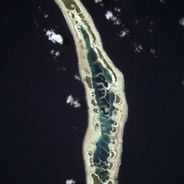
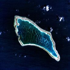
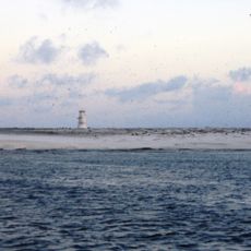
Teraina Island, Coral atoll in Line Islands, Kiribati.
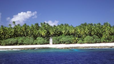
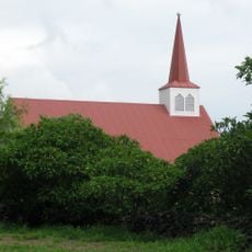
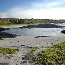
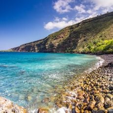
Teraina is a coral atoll in the Line Islands featuring white sand beaches and a central freshwater lagoon surrounded by coconut palm groves. The vegetation covers much of the landscape, shaping the island's appearance.
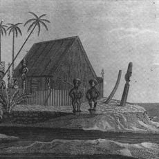
A whaling captain named Edmund Fanning discovered the island in 1798 and called it Washington Island. Britain later claimed it in 1889 as part of its colonial expansion in the Pacific.
The community maintains fishing and coconut farming traditions that shape daily life and connect people to their land. These practices remain visible in how residents spend their days and use the island's resources.
The settlement of Tangkore serves as the entry point for those visiting the island. Conditions are basic here, so prepare for limited services and amenities.
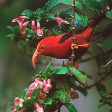
The island is home to a rare parrot species that has adapted to the coconut palm environment. These birds are found here in greater numbers than almost anywhere else globally.
The community of curious travelers
AroundUs brings together thousands of curated places, local tips, and hidden gems, enriched daily by 60,000 contributors worldwide.