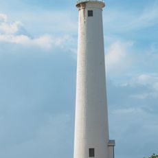
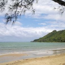
Kaʻena Point, Coastal landform at northwestern tip of Oahu, United States
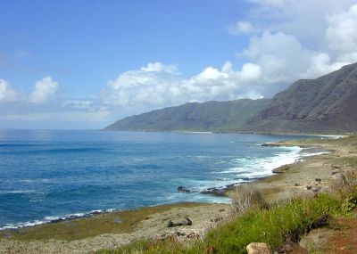
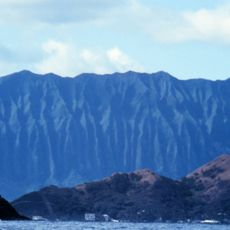
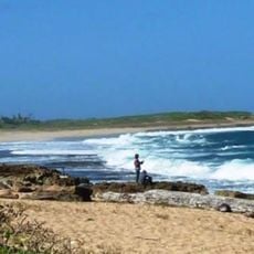
Kaʻena Point is a rocky headland at the northwestern tip of Oahu featuring tide pools, sandy shores, and sheer ocean cliffs along the Pacific coast. The terrain displays volcanic rock formations and windswept vegetation on what is one of the island's most exposed locations.
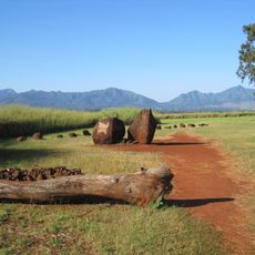
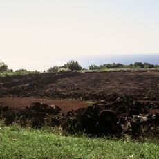
A railroad company built tracks through this area in 1899 to move sugarcane across the region, but a tsunami in 1946 destroyed all the infrastructure. Today traces of the old railway line remain visible across the landscape.
Native Hawaiians view this headland as a sacred gateway where spirits depart toward the afterlife, and the name traces back to Pele's family in their traditions. Local practices reflect deep spiritual connections to this windswept corner of the island.
The trail stretches across open ground with minimal shade, so bringing plenty of water and sun protection is essential for the hike. Wear sturdy footwear since the path crosses rocky, uneven terrain throughout.
A protective fence was installed in 2011 to shield a large area from predators and help native seabirds reestablish populations in the region. This conservation effort has resulted in returning bird species to an area where they had become rare.
The community of curious travelers
AroundUs brings together thousands of curated places, local tips, and hidden gems, enriched daily by 60,000 contributors worldwide.