Chest opened
+${chestReward.xp} XP
Explorer
NOUVEAU ×${chestReward.collectible.quantity}
tapez pour fermer
Chest locked

Open chests in the app

Around Us is built for your phone — chests unlock when you walk, explore and capture nearby places.

Enable Location

We need your location to show you interesting places around you

Discover nearby places

Find interesting locations and hidden gems around you

Precise directions

Get accurate directions and distances to places

Your location is never shared with other users. It's only used when you tap the location button.

Nunivak Island

Log in to your account

Start exploring — it's free

Trusted by 72,985 travelers worldwide

Continue with Google
Continue with Apple
or

We will send you a code to connect

By continuing, you accept our Terms and Conditions and our Privacy Policy

Check your inbox

We've sent a pincode in your inbox. Please enter the code below.

Nunivak Island
Discussion Reviews 1 Photos
17.1k Popularity

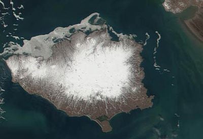
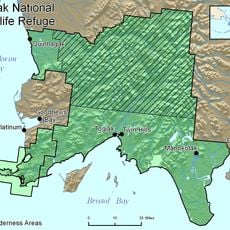
Nunivak Island, Volcanic island in Bering Sea, Alaska, United States.

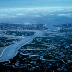
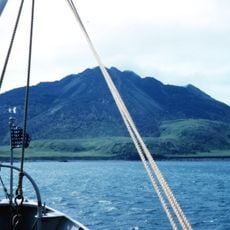
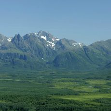
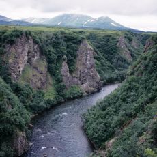
Nunivak Island is a volcanic island in the Bering Sea off Alaska's southwestern coast, formed by tundra, volcanic plateaus, and numerous cinder cones. The landscape consists of harsh terrain shaped by its volcanic origins and covered by low vegetation typical of arctic regions.

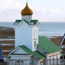
Russian explorers discovered the island in 1821, but its remote location prevented outside influences from reaching it for a long time. This isolation allowed the indigenous population to maintain their traditions and way of life relatively unchanged.

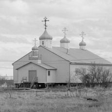
The island's residents craft traditional masks for ceremonial and healing purposes, a practice that remains central to community life today. These handmade objects reflect the spiritual beliefs and artistic traditions of the local people.

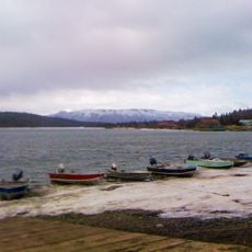
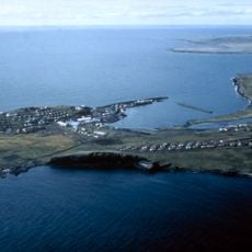
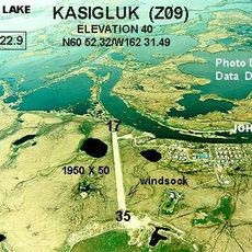
Access to the island requires small aircraft or boats, as there are no permanent roads. Visitors should prepare for harsh weather conditions and limited supply options during their stay.

The island is home to musk oxen introduced from Greenland in 1935 and wild reindeer herds that shape hunting practices today. These animals have adapted to the harsh climate and become an unexpected part of the arctic ecosystem.

The community of curious travelers

AroundUs brings together thousands of curated places, local tips, and hidden gems, enriched daily by 60,000 contributors worldwide.

Start exploring
GPS coordinates
60.08962,-166.50340
Latest update
December 7, 2025 19:25
Around this place
Yukon Delta National Wildlife Refuge
United States of America

Yukon Delta National Wildlife Refuge

216.8 km
Wood-Tikchik State Park
United States of America

Wood-Tikchik State Park

434 km
Amak Volcano
United States of America

Amak Volcano

556.7 km
Togiak National Wildlife Refuge
United States of America

Togiak National Wildlife Refuge

360.8 km
Innoko National Wildlife Refuge
United States of America

Innoko National Wildlife Refuge

558.2 km
Sts. Peter and Paul Church
United States of America

Sts. Peter and Paul Church

396.4 km
Togiak Wilderness
United States of America

Togiak Wilderness

355.7 km
Innoko Wilderness
United States of America

Innoko Wilderness

545.6 km
Cape Nome Mining District Discovery Sites
United States of America

Cape Nome Mining District Discovery Sites

501.4 km
Unalakleet River
United States of America

Unalakleet River

552.5 km
Seal Island Historic District
United States of America

Seal Island Historic District

409.5 km
Old St. Joseph's Catholic Church
United States of America

Old St. Joseph's Catholic Church

494.2 km
Nome River
United States of America

Nome River

511 km
Snake River
United States of America

Snake River

508.9 km
Christ Church Mission
United States of America

Christ Church Mission

440.7 km
Swanberg Dredge
United States of America

Swanberg Dredge

493.6 km
Solomon Roadhouse
United States of America

Solomon Roadhouse

508.8 km
Niukluk River
United States of America

Niukluk River

555.3 km
Iyatayet Site
United States of America

Iyatayet Site

545.6 km
St. Jacob's Church
United States of America

St. Jacob's Church

269.5 km
St. Seraphim Chapel
United States of America

St. Seraphim Chapel

369.2 km
St. John the Baptist Chapel
United States of America

St. John the Baptist Chapel

558.3 km
Transfiguration of Our Lord Chapel
United States of America

Transfiguration of Our Lord Chapel

469.7 km
Bureau of Indian Affairs Unalakleet School
United States of America

Bureau of Indian Affairs Unalakleet School

516 km
Johnson River
United States of America

Johnson River

298.3 km
Kemuk River
United States of America

Kemuk River

375.7 km
Kwethluk River
United States of America

Kwethluk River

325.5 km
Bering Land Bridge Visitor Center
United States of America

Bering Land Bridge Visitor Center

494 km
Show the full map
Reviews
Share your experience

No review yet

Discussions
Start a discussion...

No discussion yet

« Nunivak Island - Volcanic island in Bering Sea, Alaska, United States » is provided by Around Us (aroundus.com). Images and texts are derived from Wikimedia project under a Creative Commons license. You are allowed to copy, distribute, and modify copies of this page, under the conditions set by the license, as long as this note is clearly visible.

Discover hidden gems everywhere you go!

From secret cafés to breathtaking viewpoints, skip the crowded tourist spots and find places that match your style. Our app makes it easy with voice search, smart filtering, route optimization, and insider tips from travelers worldwide. Download now for the complete mobile experience.

Around Us App Screenshot

A unique approach to discovering new places

Le Figaro

All the places worth exploring

France Info

A tailor-made excursion in just a few clicks

20 Minutes

Around Us
Travel Guide & Maps
Download

Send to your phone

QR Code
1

Open the camera app on your mobile.

2

Point at the QR code with your camera. A notification will appear.

3

Tap the notification to open the link.