
The Bluff, cliff in Kusilvak Census Area, United States of America
Location: Kusilvak Census Area
GPS coordinates: 61.94028,-162.15056
Latest update: March 12, 2025 07:31
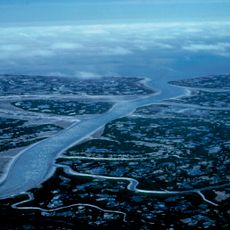
Yukon Delta National Wildlife Refuge
114 km
Wood-Tikchik State Park
282.2 km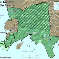
Togiak National Wildlife Refuge
308.1 km
Innoko National Wildlife Refuge
246 km
Trail Creek Caves
433.1 km
Togiak Wilderness
277.5 km
Innoko Wilderness
233.8 km
Cape Nome Mining District Discovery Sites
333.5 km
Unalakleet River
254.1 km
Old St. Joseph's Catholic Church
328.3 km
Nome River
339.2 km
Snake River
342.8 km
Kougarok River
412.1 km
Kuzitrin River
391.3 km
Christ Church Mission
128.4 km
Swanberg Dredge
326.6 km
Solomon Roadhouse
313.3 km
Niukluk River
344.8 km
Iyatayet Site
276.7 km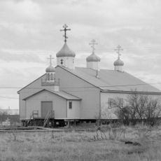
St. Jacob's Church
138.7 km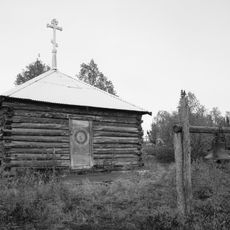
Sts. Constantine and Helen Chapel
360.8 km
St. Seraphim Chapel
105.8 km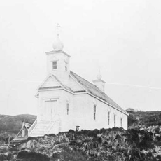
Transfiguration of Our Lord Chapel
388.9 km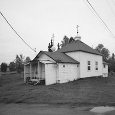
Presentation of Our Lord Chapel
426.6 km
Noxapaga River
417.6 km
Bureau of Indian Affairs Unalakleet School
225.8 km
Johnson River
65.1 km
Kemuk River
292.7 kmReviews
Visited this place? Tap the stars to rate it and share your experience / photos with the community! Try now! You can cancel it anytime.
Discover hidden gems everywhere you go!
From secret cafés to breathtaking viewpoints, skip the crowded tourist spots and find places that match your style. Our app makes it easy with voice search, smart filtering, route optimization, and insider tips from travelers worldwide. Download now for the complete mobile experience.

A unique approach to discovering new places❞
— Le Figaro
All the places worth exploring❞
— France Info
A tailor-made excursion in just a few clicks❞
— 20 Minutes