
Yukon-Koyukuk Census Area
Yukon-Koyukuk Census Area, Census-designated place in Alaska, United States.
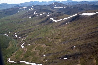
The Yukon-Koyukuk Census Area spans 147,842 square miles of Alaskan territory, making it the largest county-equivalent region in the United States.
Native Alaskan groups, particularly the Athabaskan people, established settlements along the Yukon and Koyukuk rivers before the arrival of European explorers.
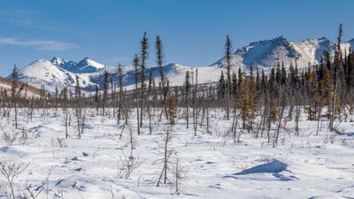
The region maintains strong indigenous traditions through subsistence activities like hunting, fishing, and gathering, which form the foundation of local communities.
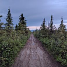
Transportation within Yukon-Koyukuk relies primarily on river systems and limited road networks, with seasonal variations affecting accessibility to different areas.
The census area contains portions of the Arctic National Wildlife Refuge and Gates of the Arctic National Park, representing 20 percent of Alaska's total land mass.
Location: Unorganized Borough
Inception: 1980
Shares border with: North Slope Borough, Southeast Fairbanks Census Area, Fairbanks North Star Borough, Denali Borough, Matanuska-Susitna Borough, Bethel Census Area, Kusilvak Census Area, Nome Census Area, Northwest Arctic Borough, Yukon
GPS coordinates: 65.29000,-151.65000
Latest update: May 27, 2025 10:09
Stampede Trail
182 km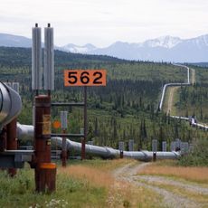
Trans-Alaska Pipeline System
303.1 km
Kobuk Valley National Park
422.4 km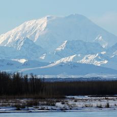
Mount Foraker
259.6 km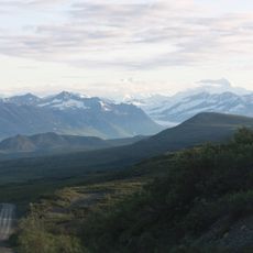
Denali Highway
315 km
Mount Hunter
261.7 km
Magic Bus
202.6 km
Mount Hayes
300.9 km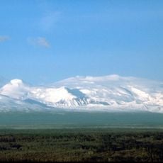
Mount Wrangell
524.5 km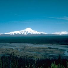
Mount Sanford
503.8 km
The Moose's Tooth
263.2 km
Fairbanks Gold Rush
197.4 km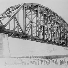
Mears Memorial Bridge
145.5 km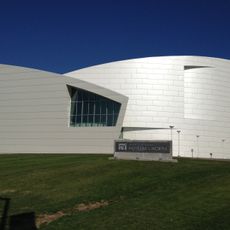
University of Alaska Museum of the North
184.9 km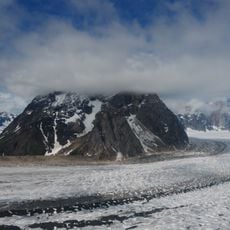
Ruth Glacier
285.4 km
Mount Huntington
261.1 km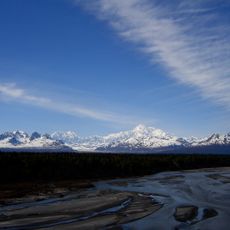
Denali State Park
293.6 km
E. L. Patton Yukon River Bridge
110.4 km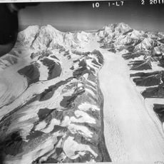
Kahiltna Glacier
281.5 km
Gates of the Arctic Wilderness
318.9 km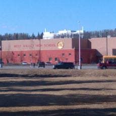
West Valley High School
186 km
Nowitna River
188.7 km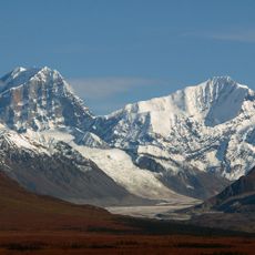
Mount Deborah
280.4 km
Fake Peak
271.2 km
Growden Memorial Park
189.3 km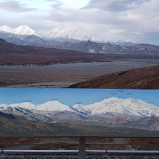
Mount Silverthrone
246.6 km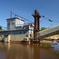
Goldstream Dredge No. 8
191.3 km
Yukon Flats National Wildlife Refuge
282.5 kmReviews
Visited this place? Tap the stars to rate it and share your experience / photos with the community! Try now! You can cancel it anytime.
Discover hidden gems everywhere you go!
From secret cafés to breathtaking viewpoints, skip the crowded tourist spots and find places that match your style. Our app makes it easy with voice search, smart filtering, route optimization, and insider tips from travelers worldwide. Download now for the complete mobile experience.

A unique approach to discovering new places❞
— Le Figaro
All the places worth exploring❞
— France Info
A tailor-made excursion in just a few clicks❞
— 20 Minutes